


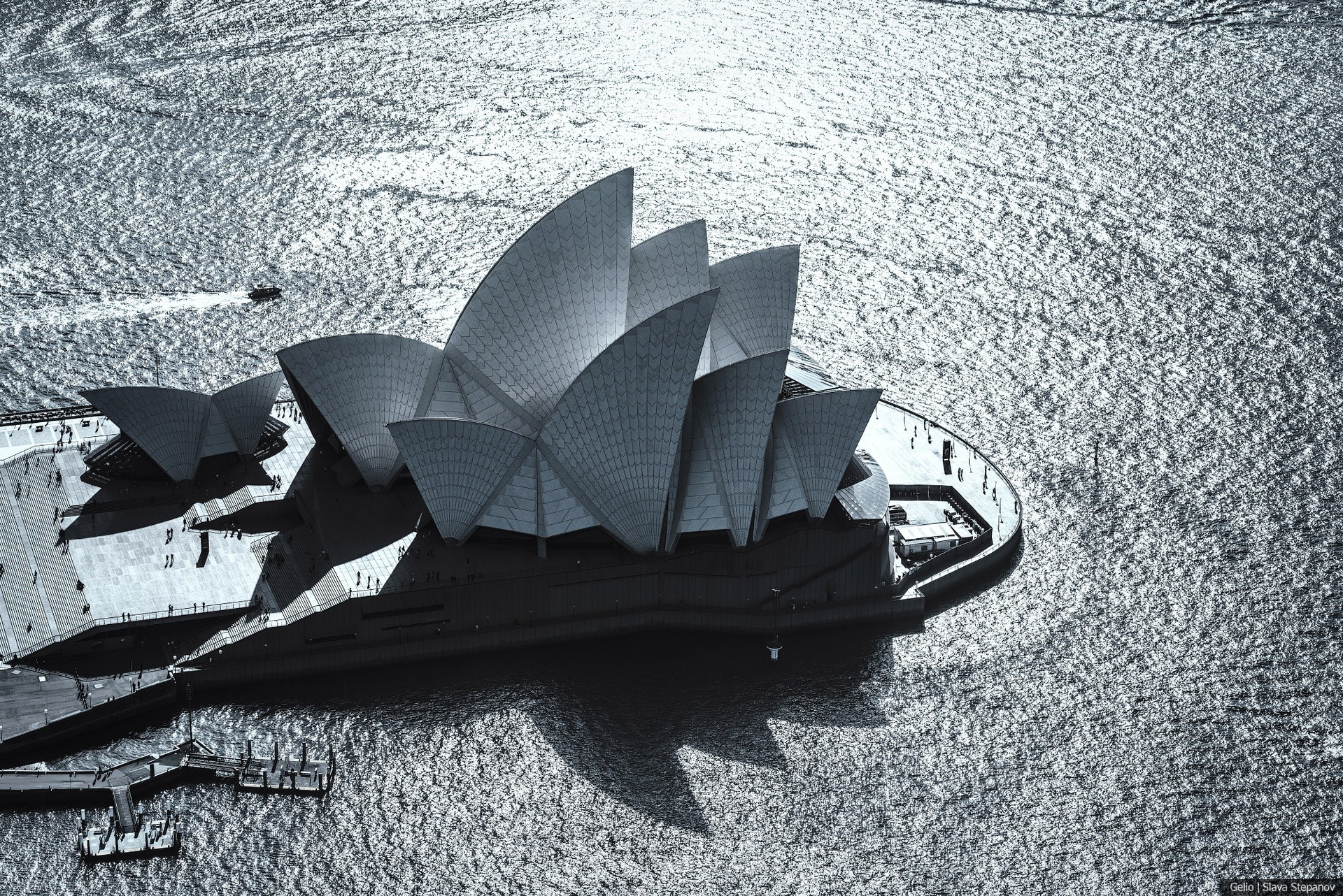
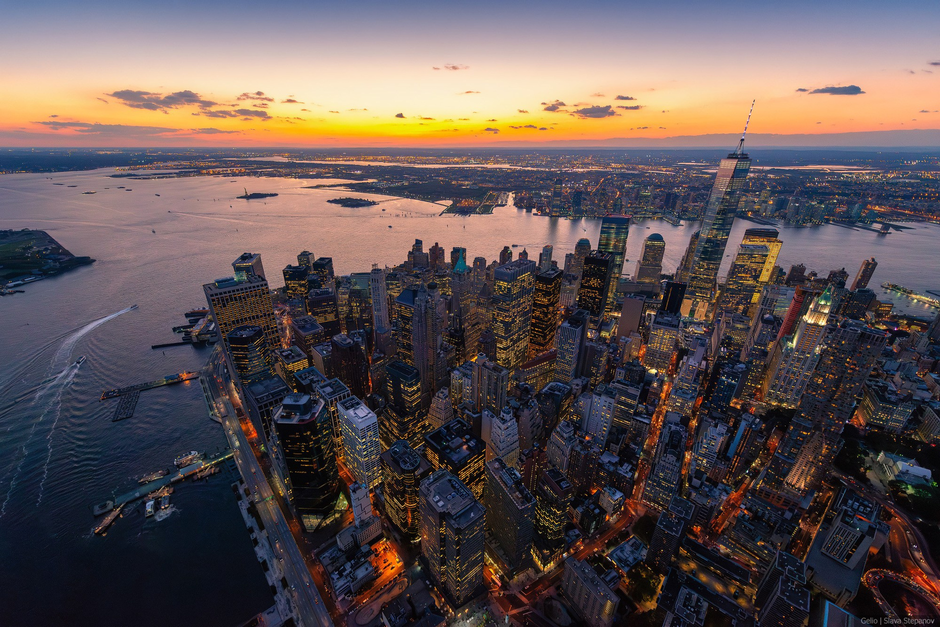
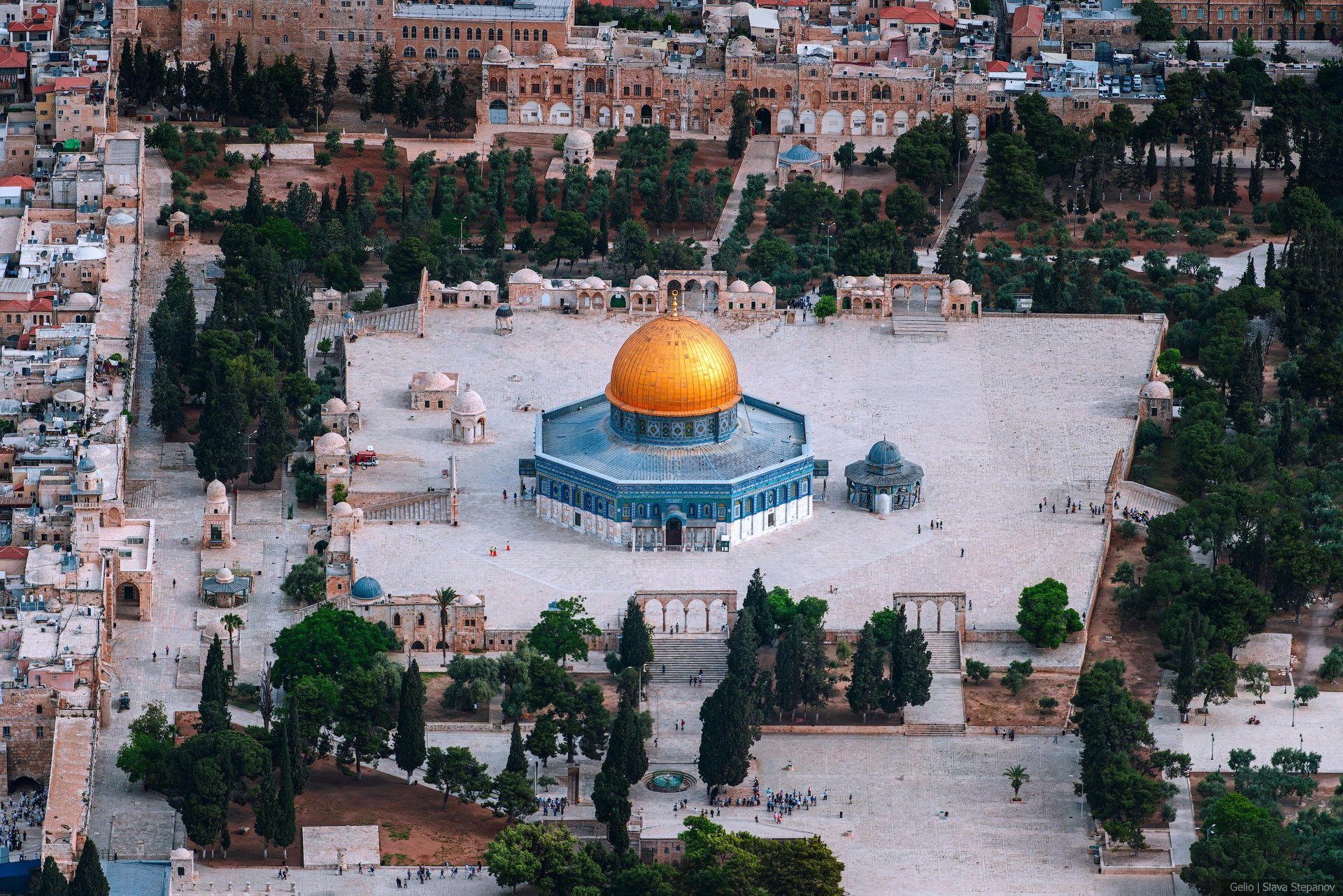
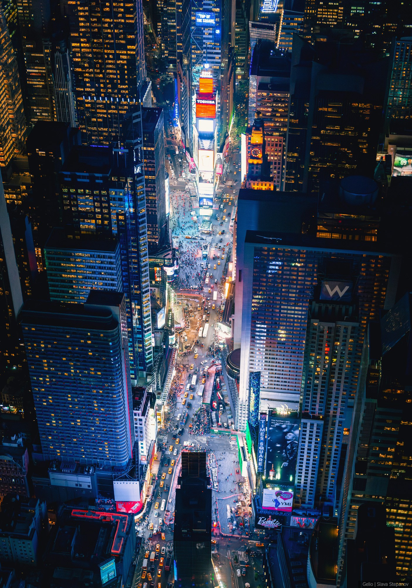

World Cities from Above — Architecture Photos and Panoramas
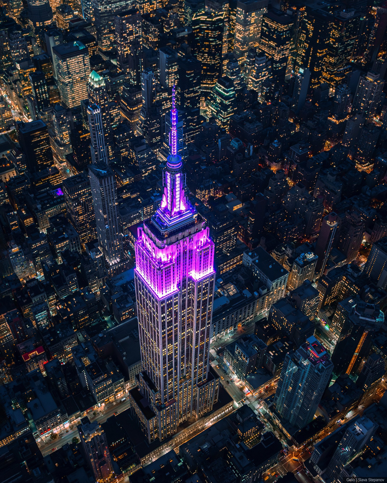
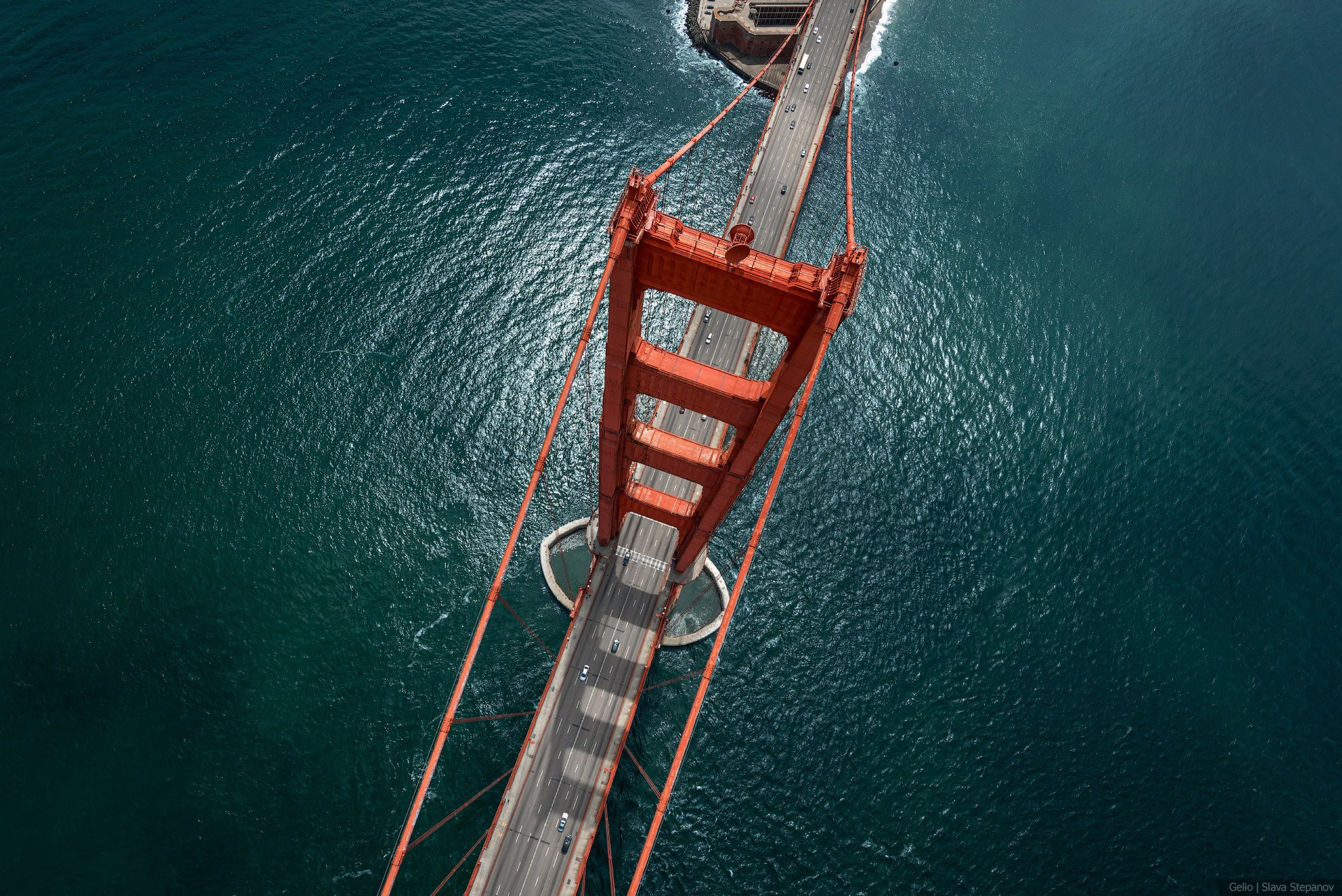
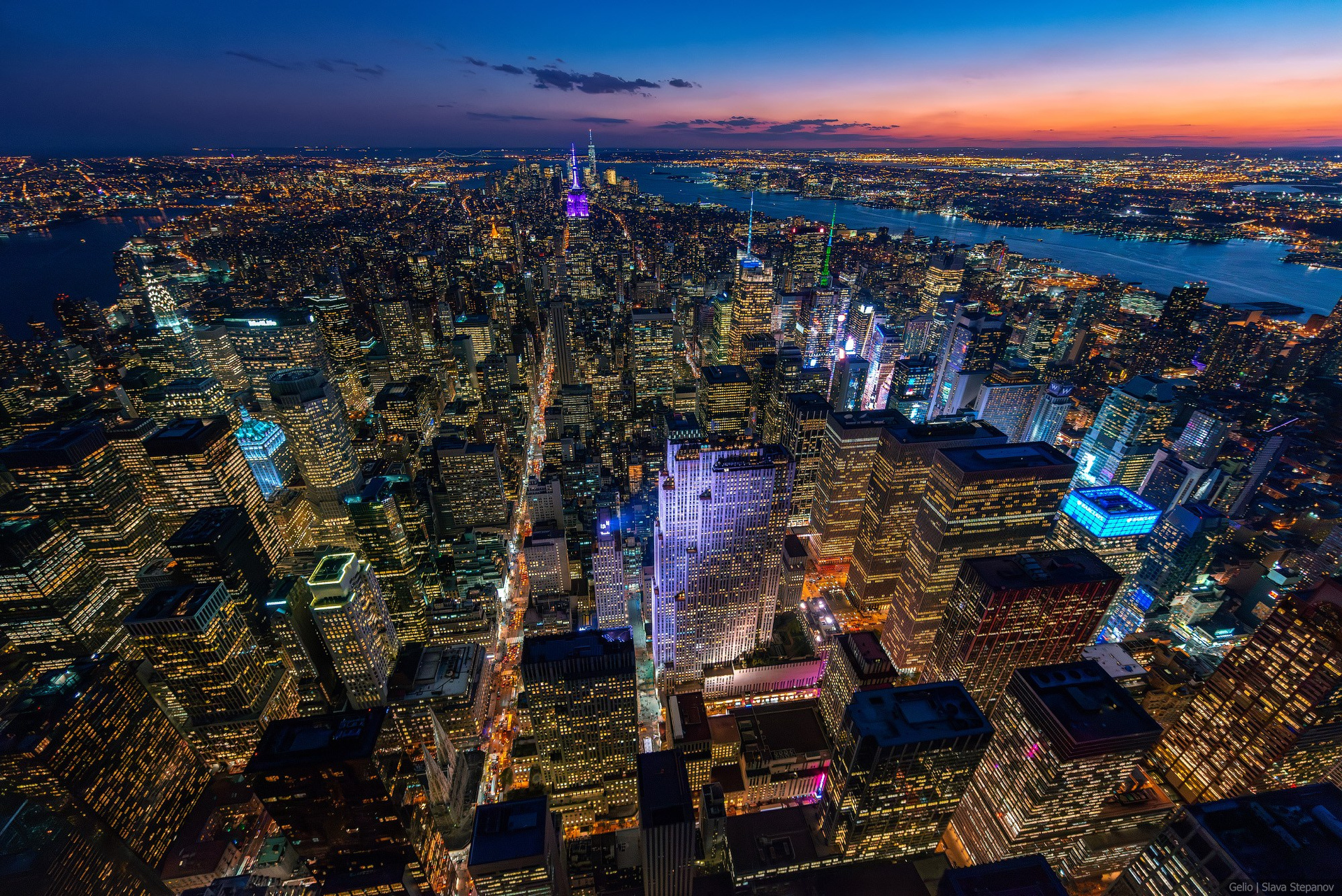
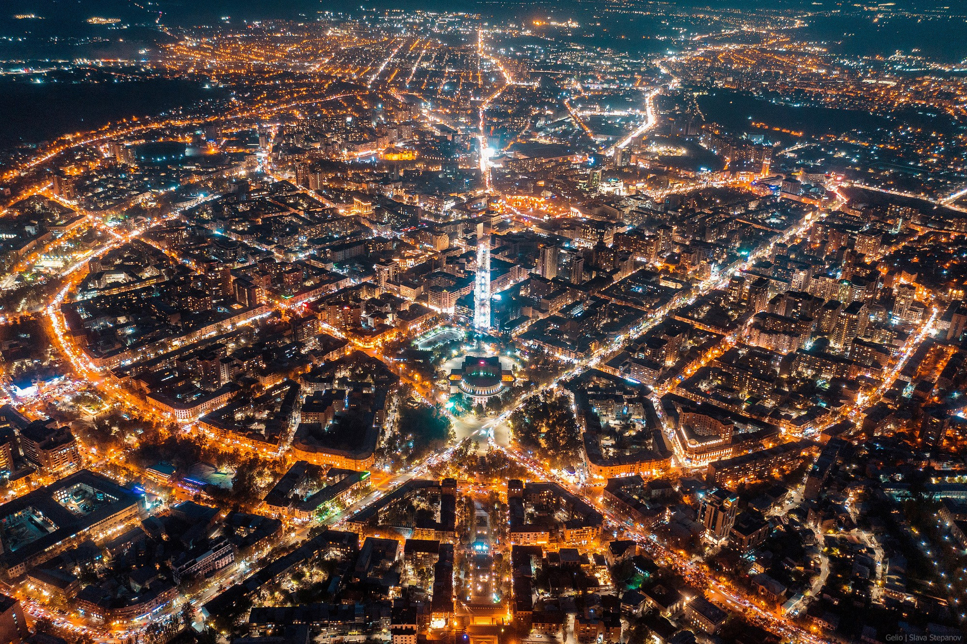
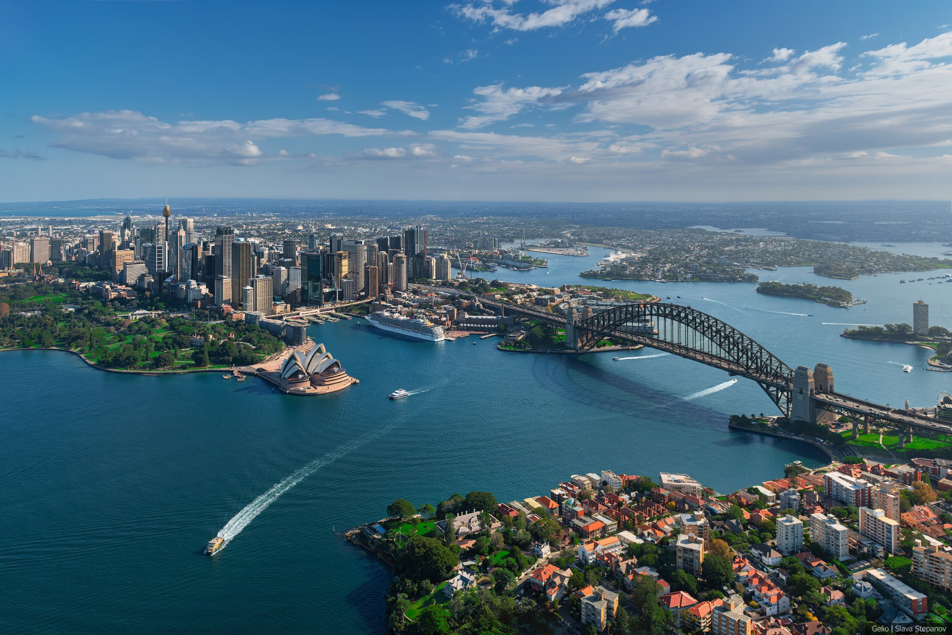
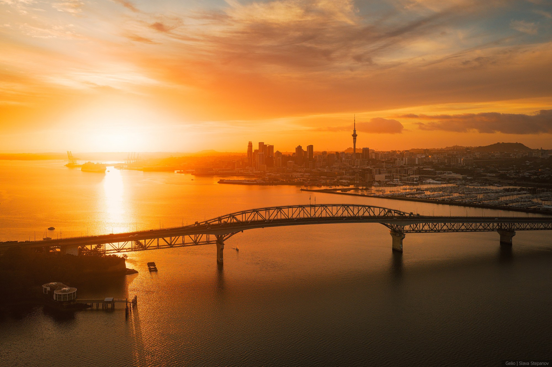
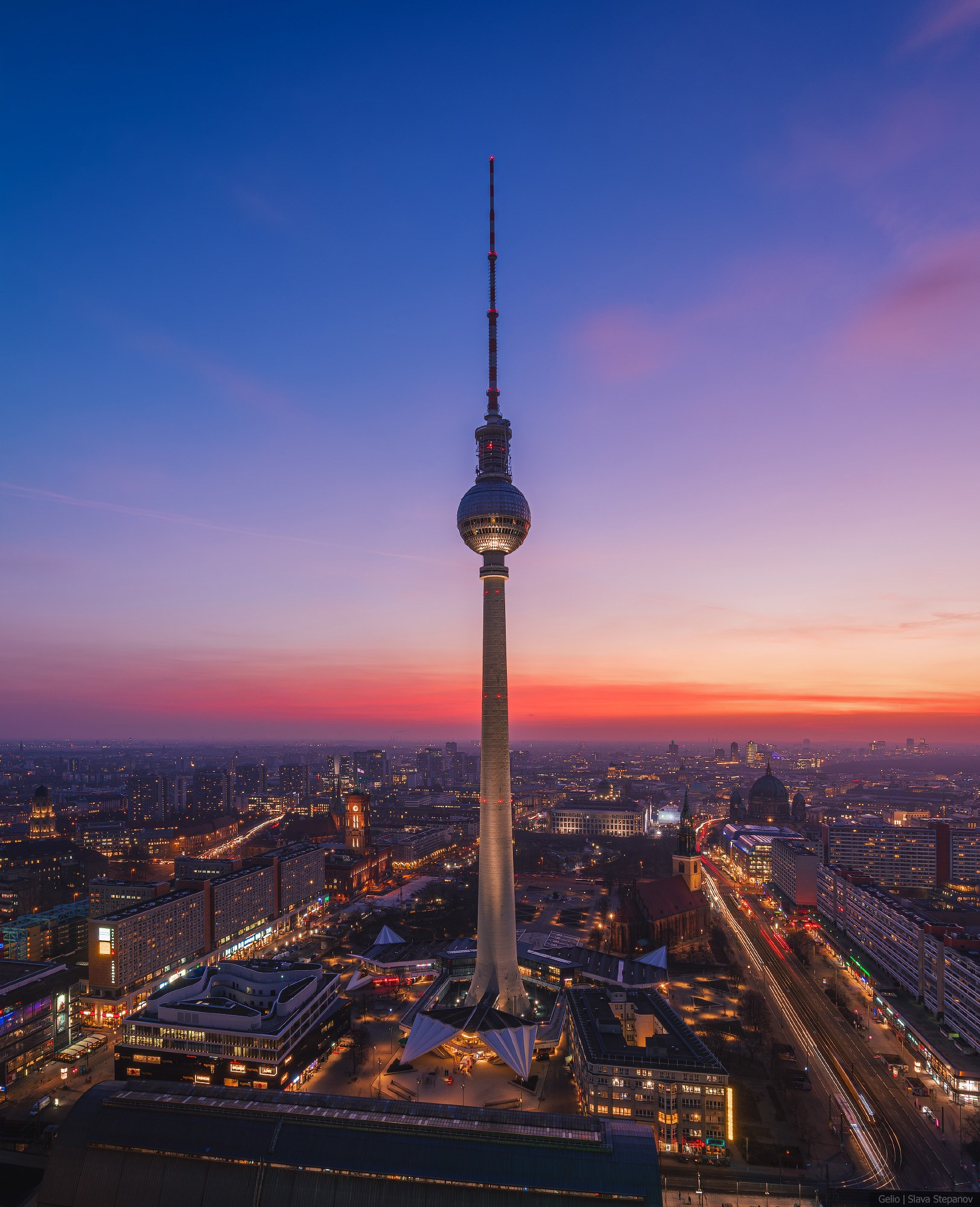
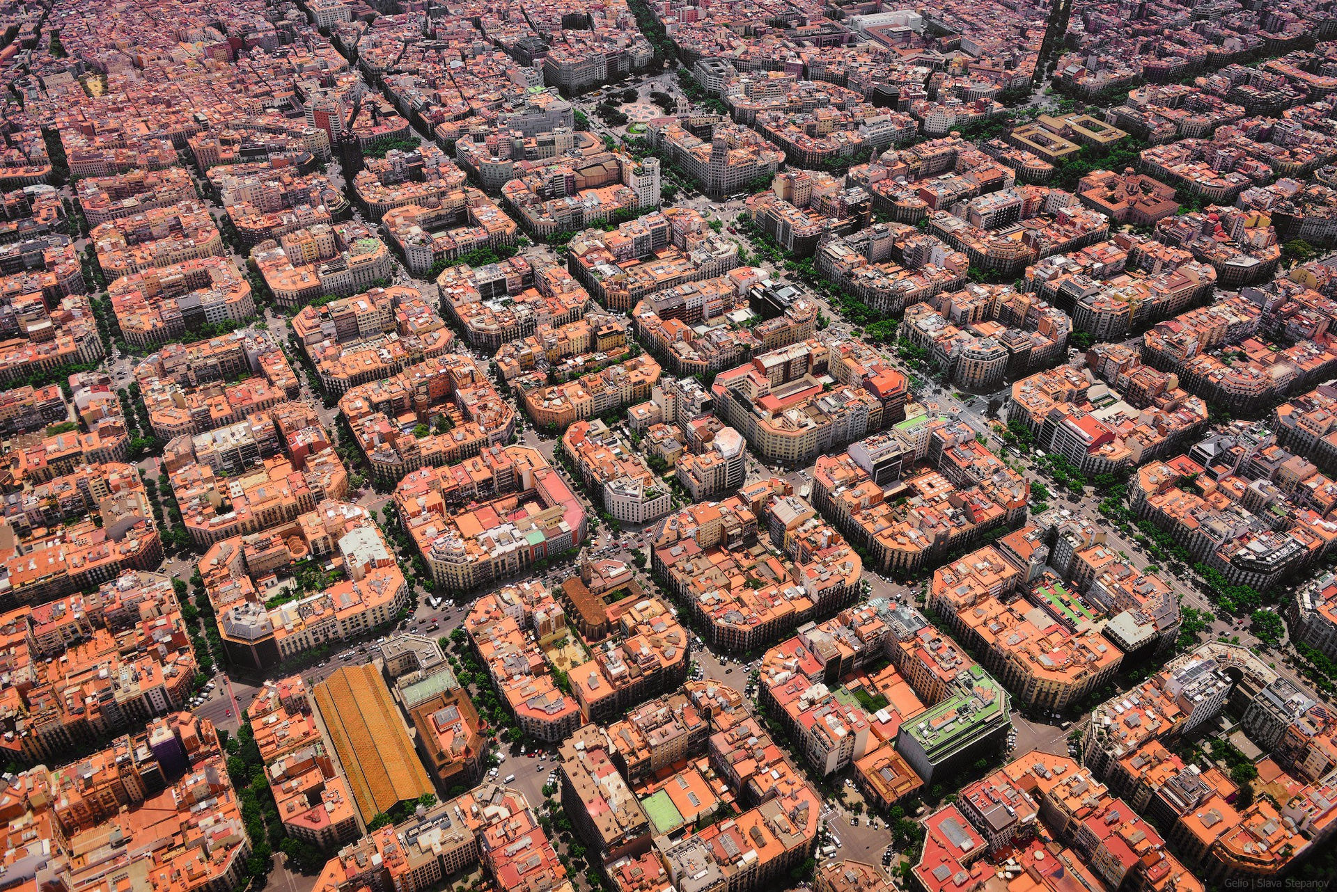
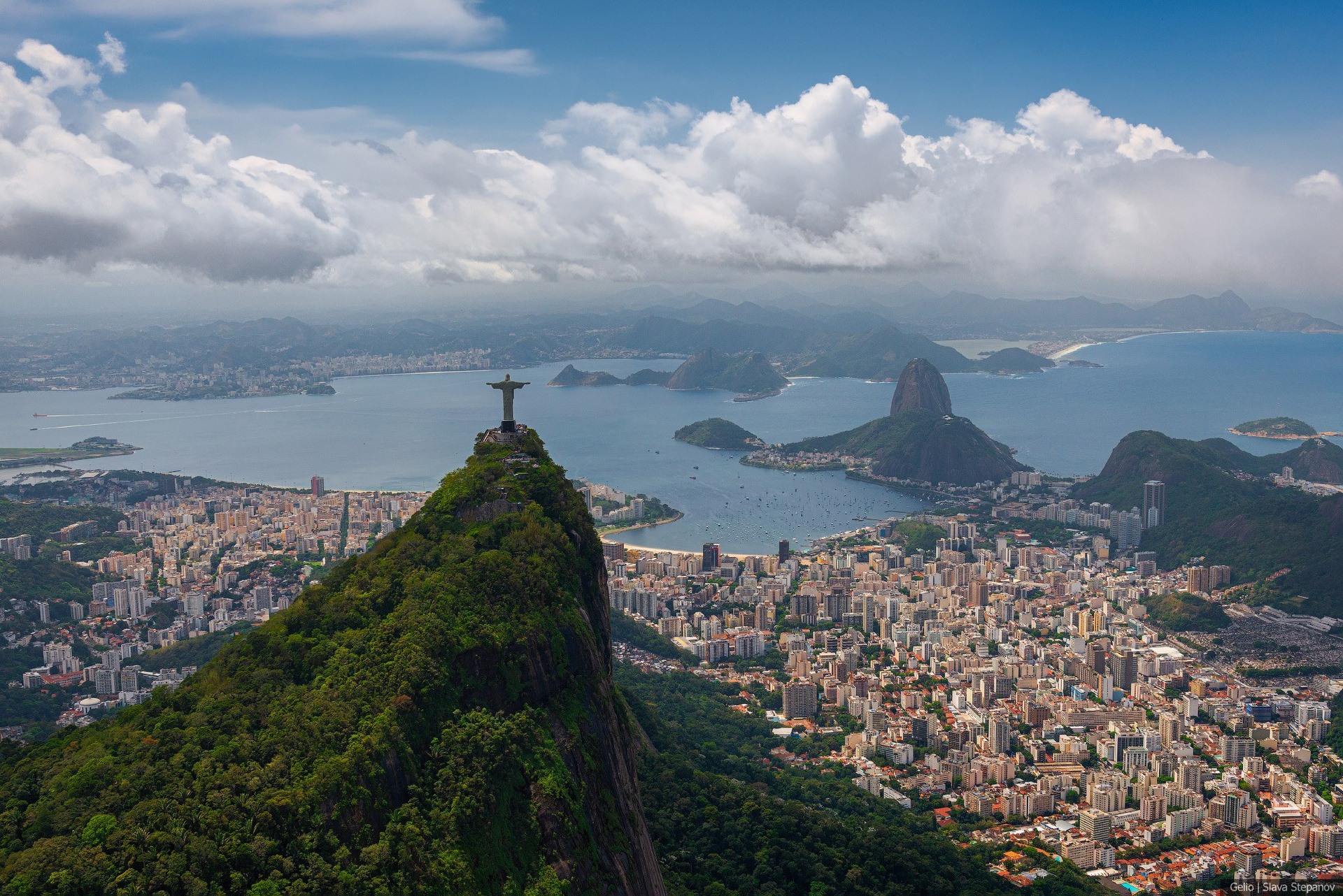
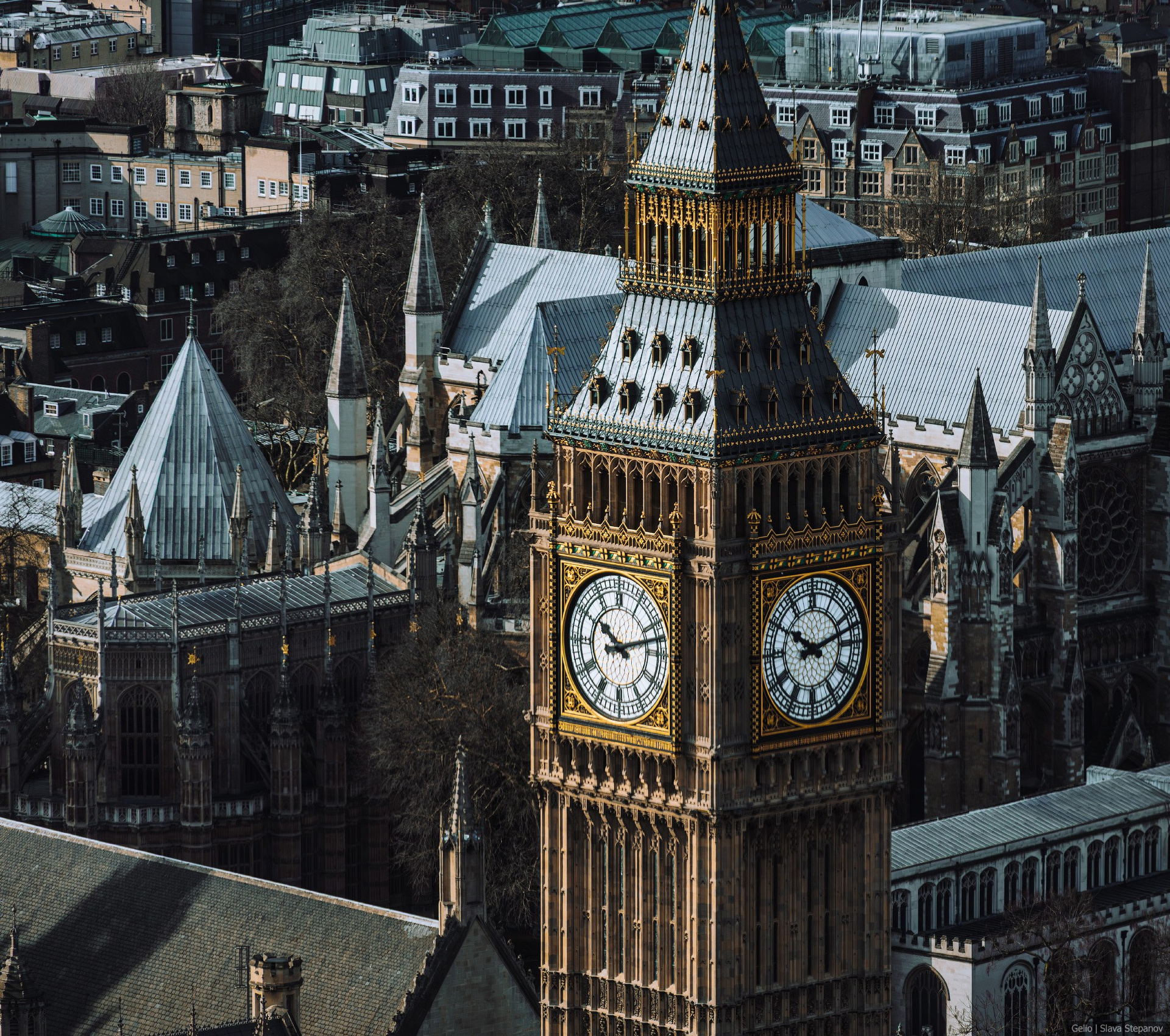
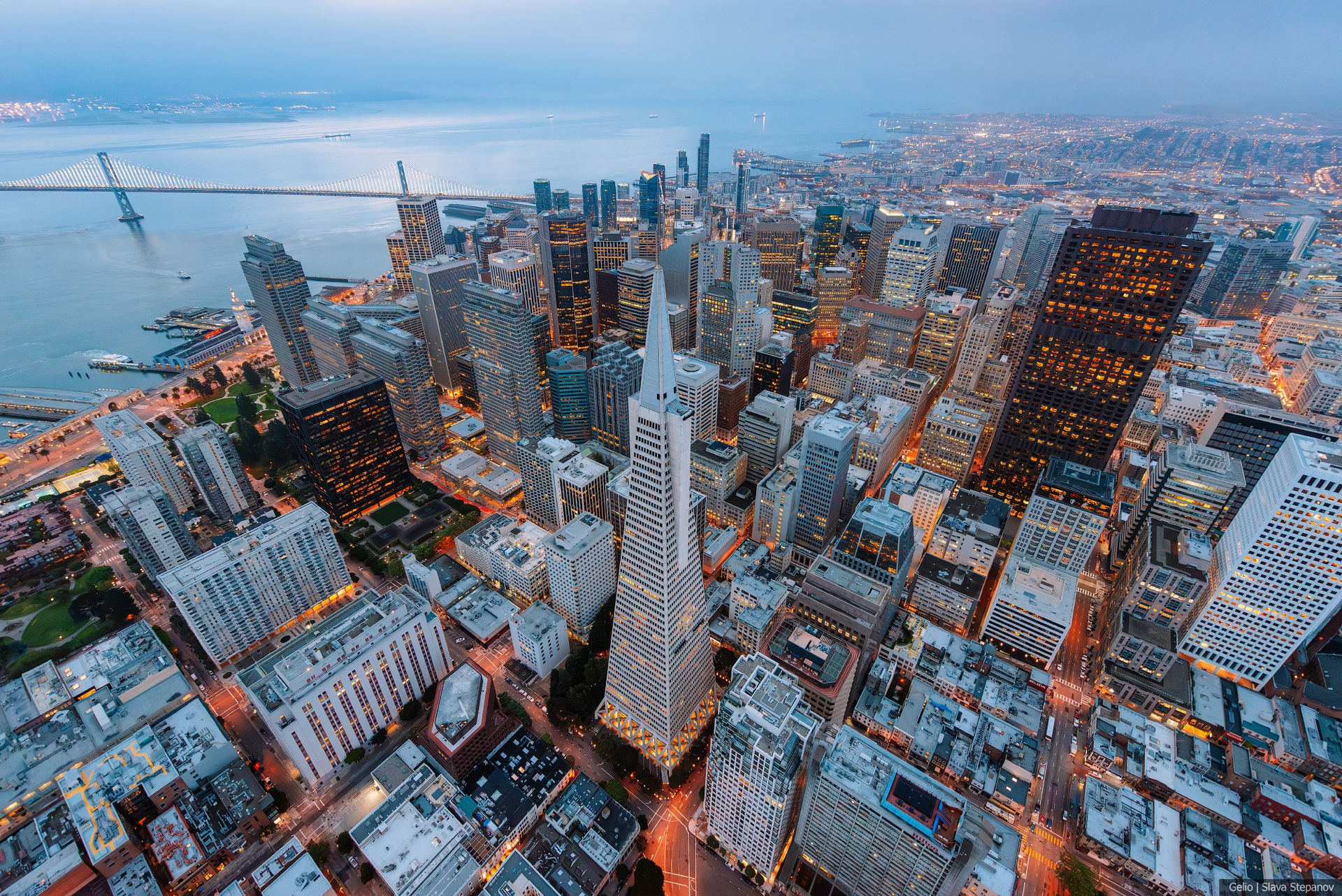
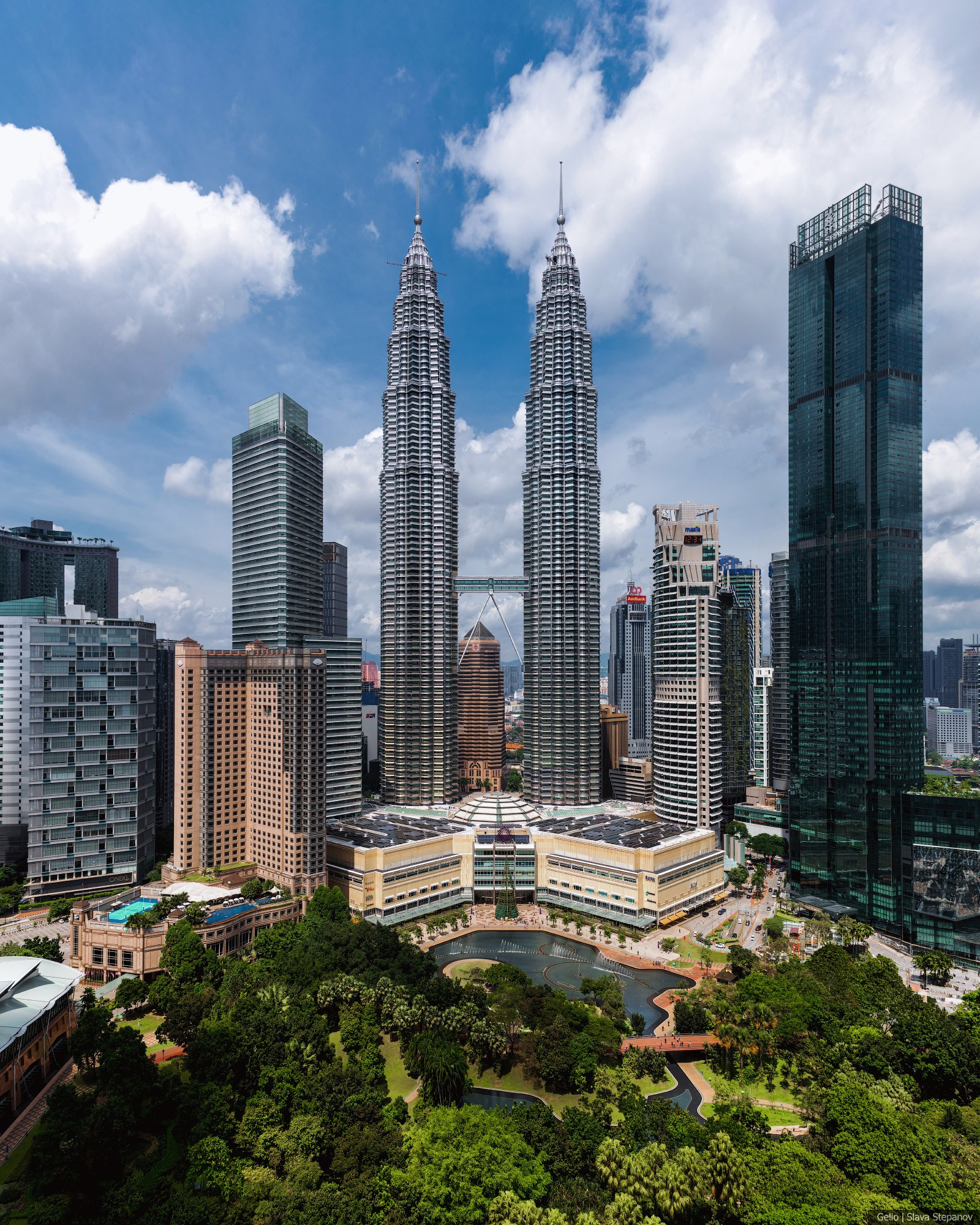
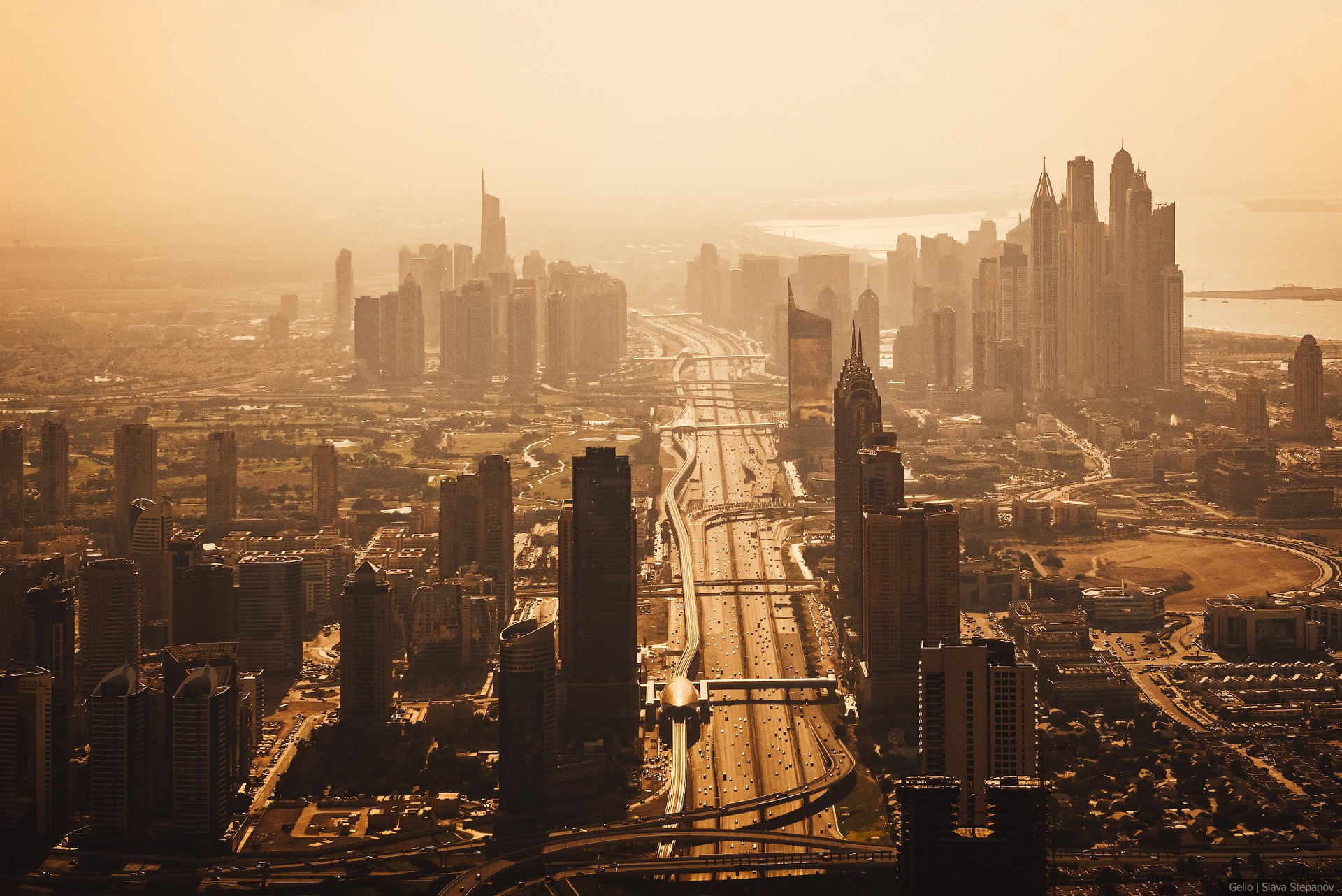
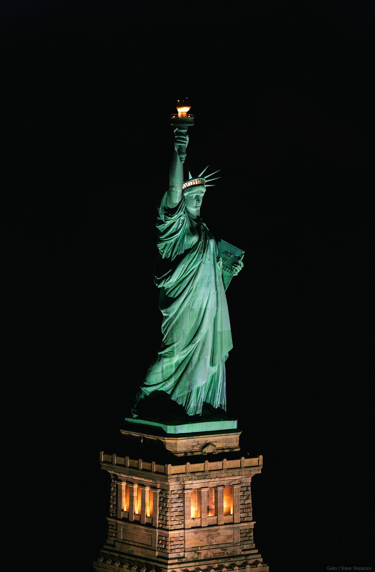
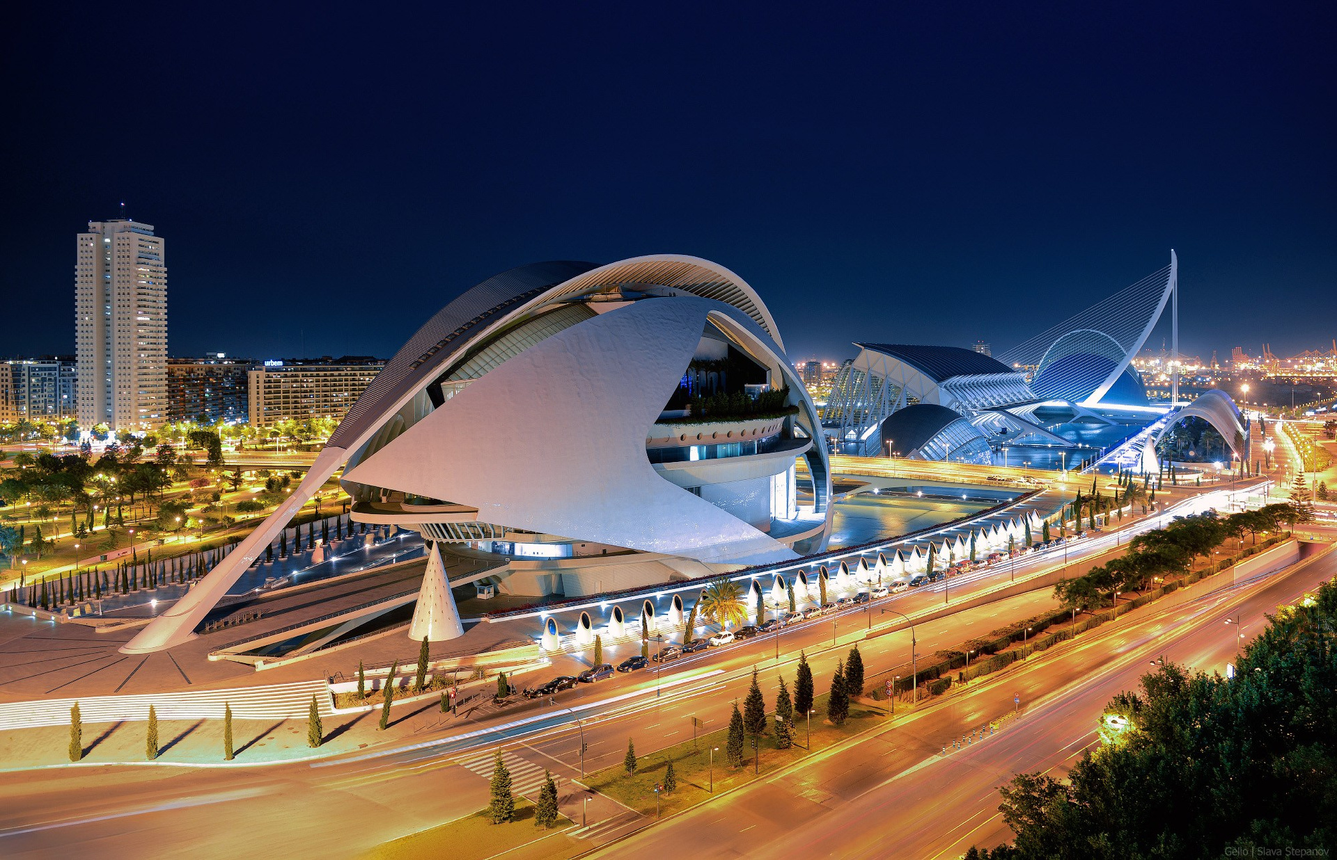
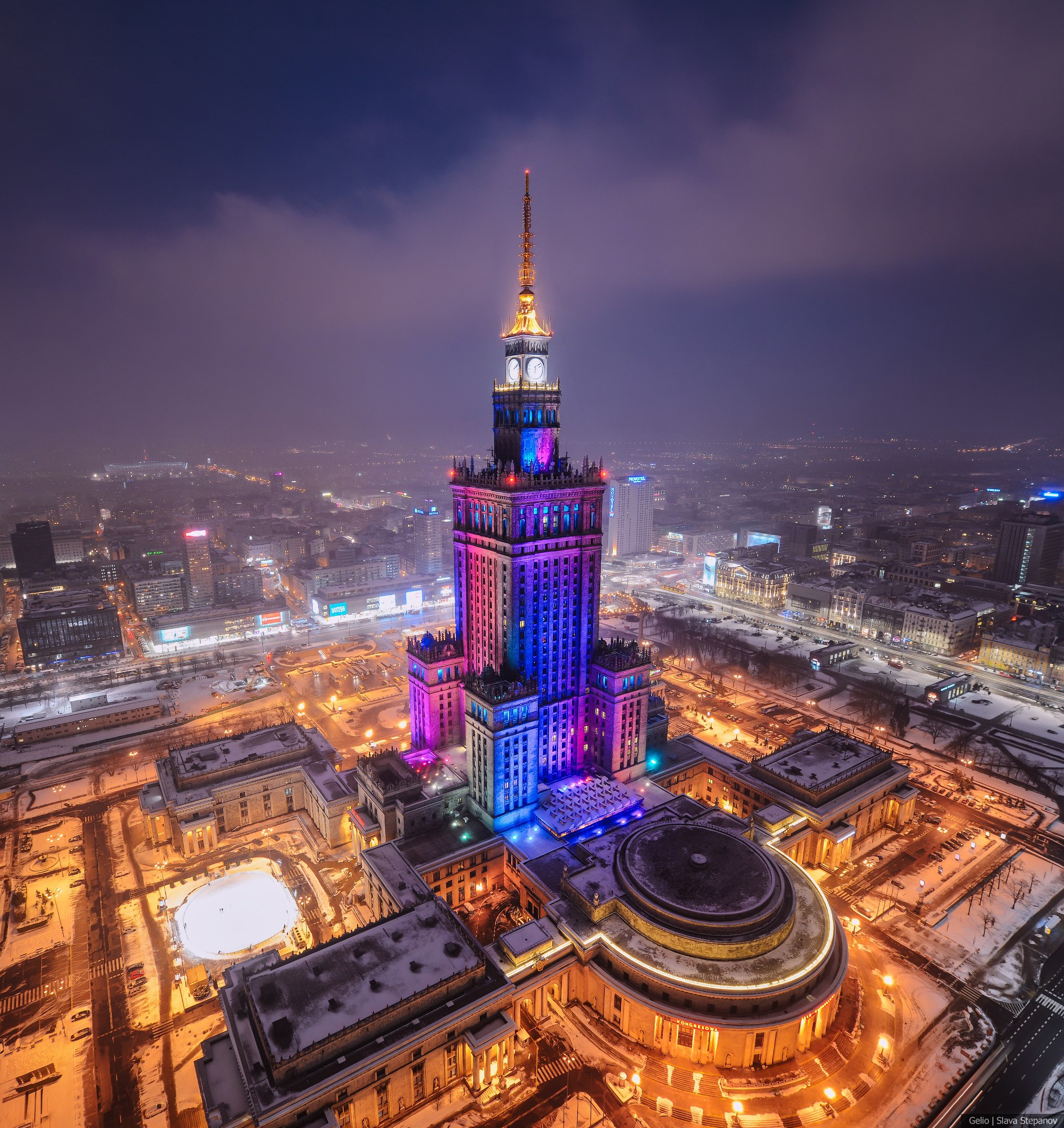
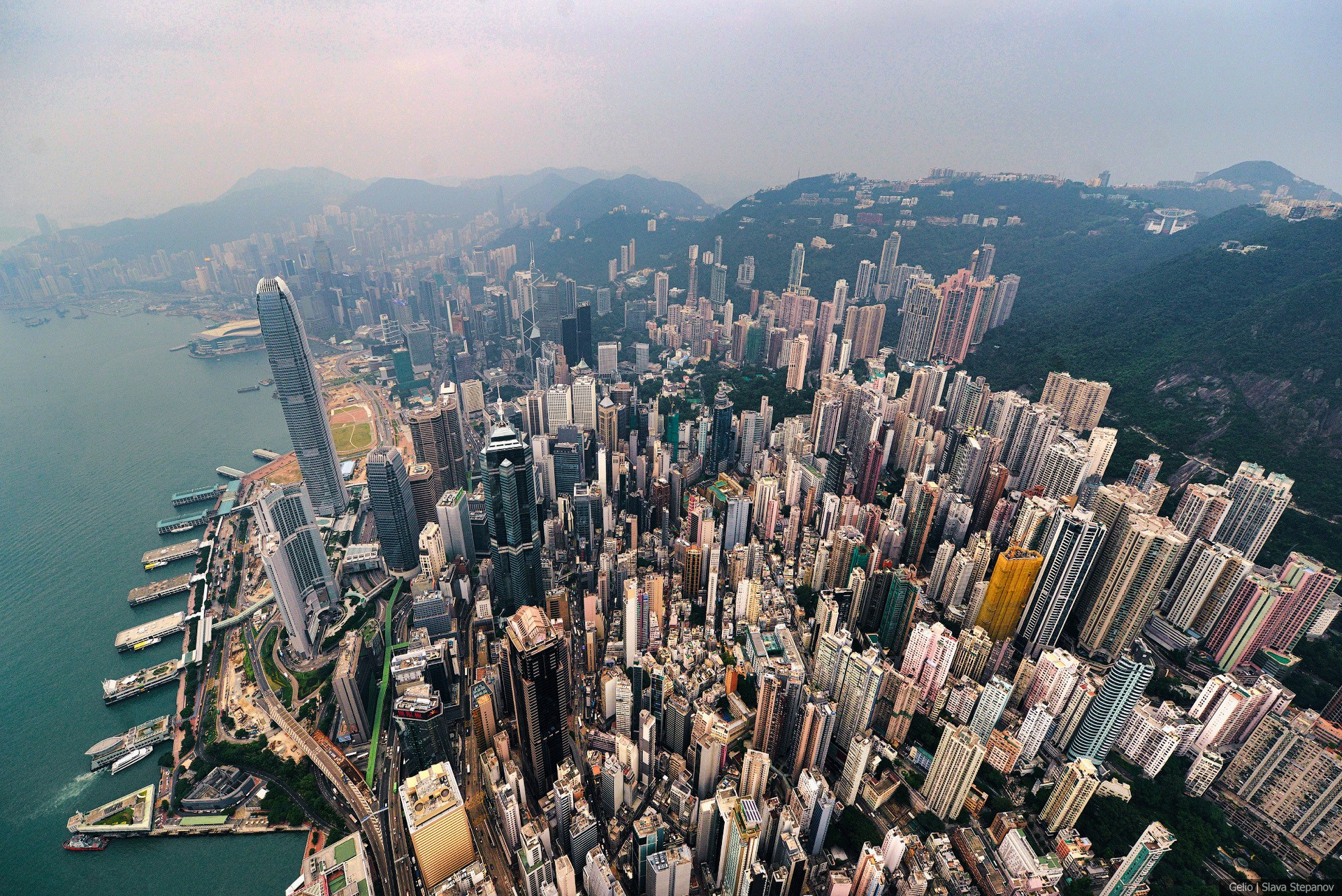
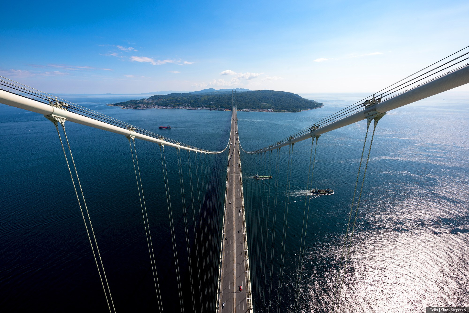
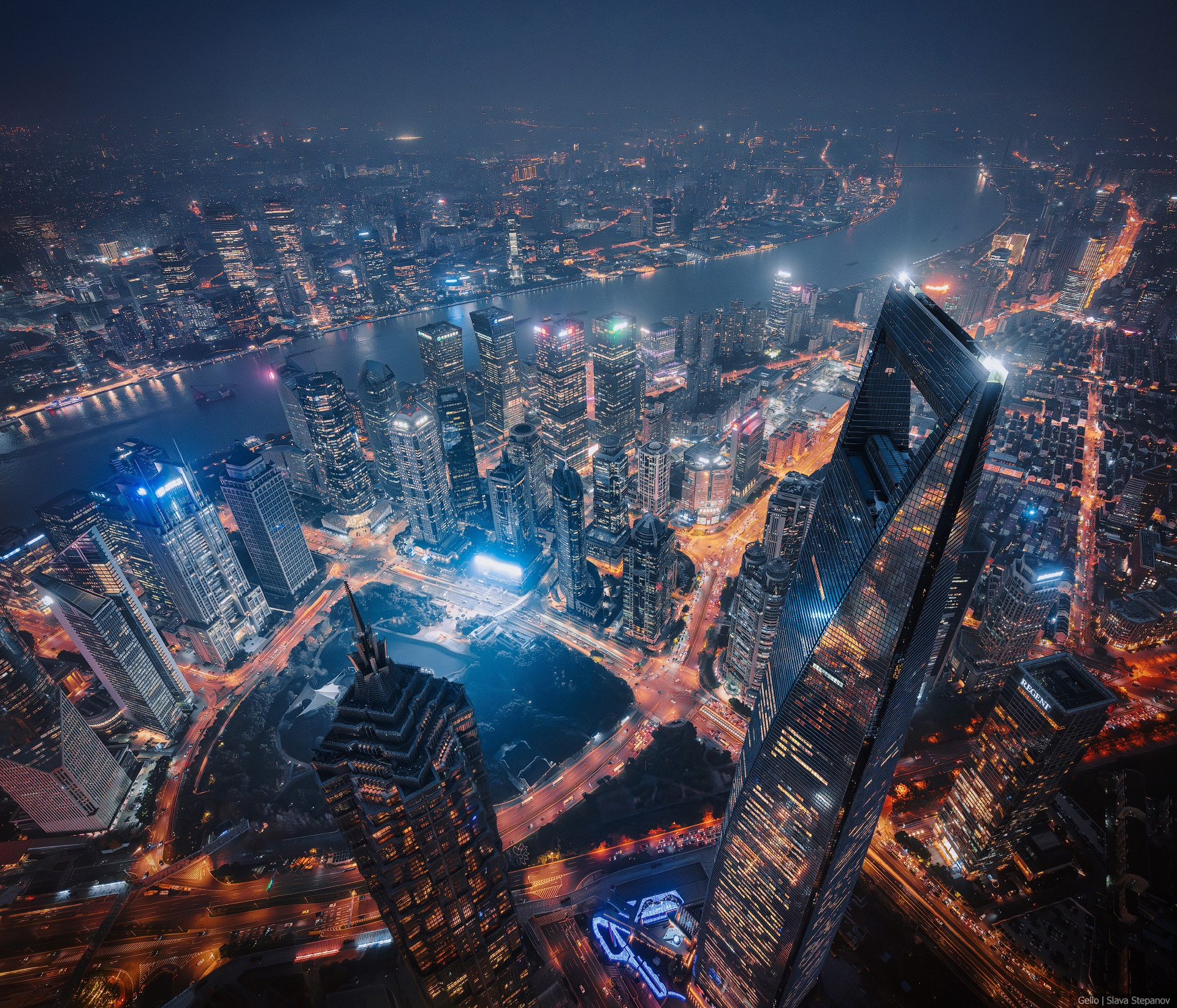
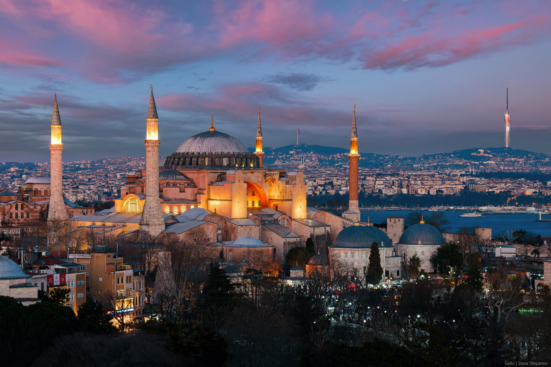
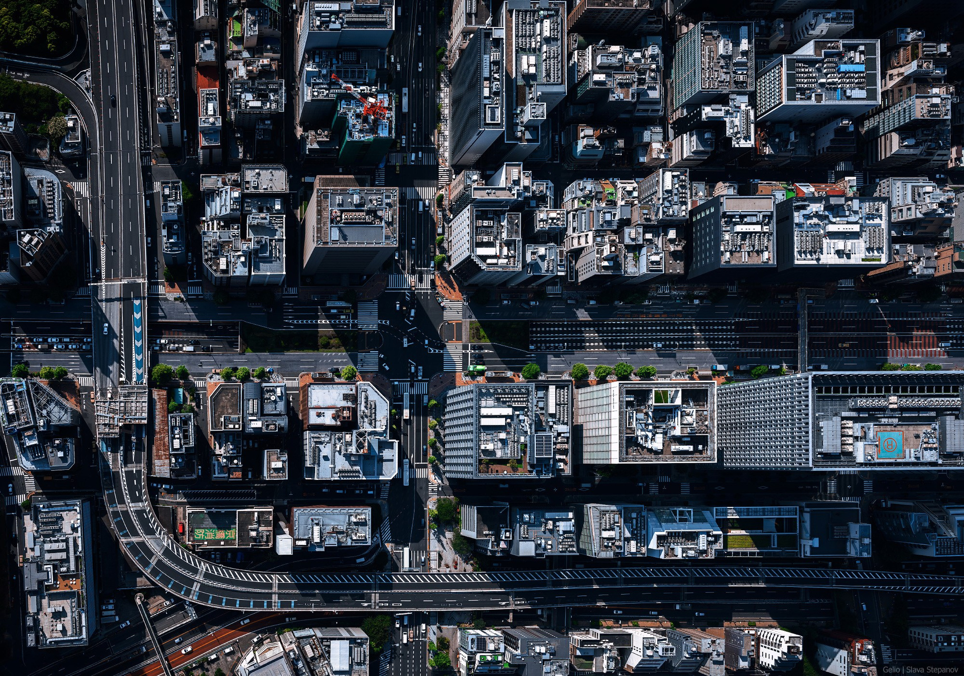
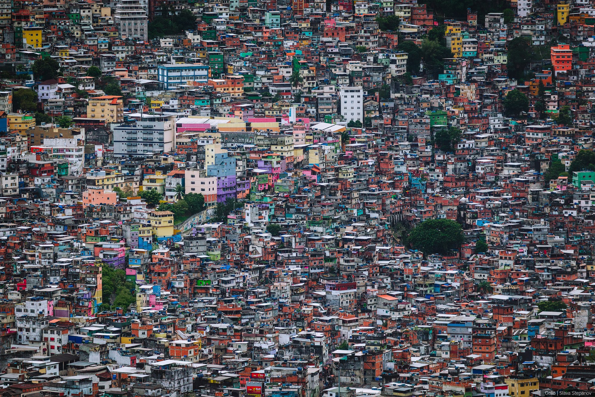
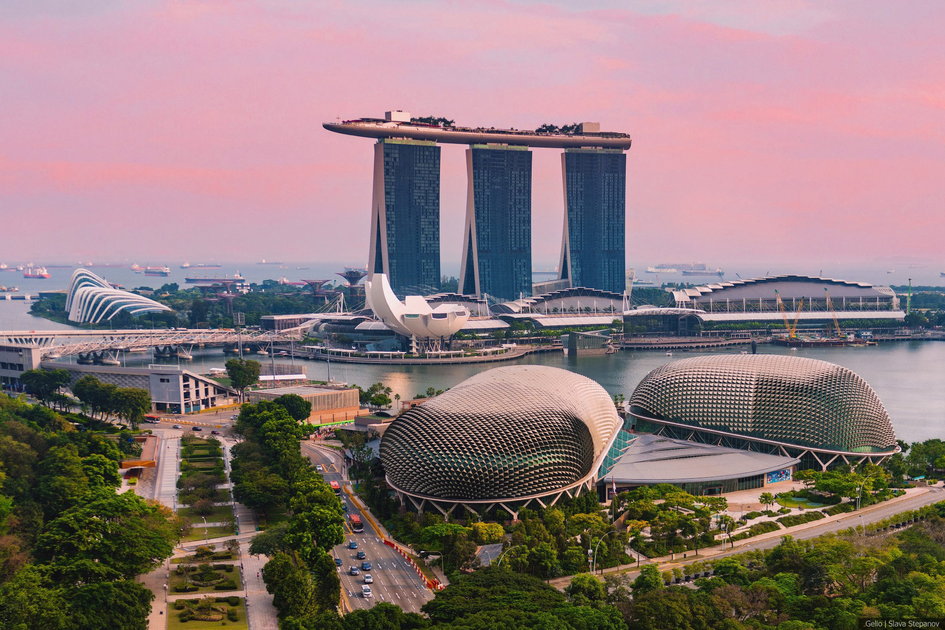
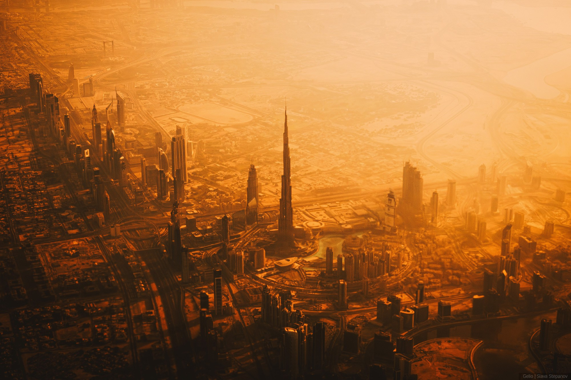
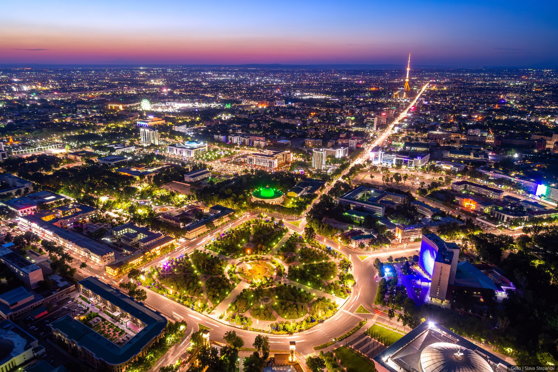
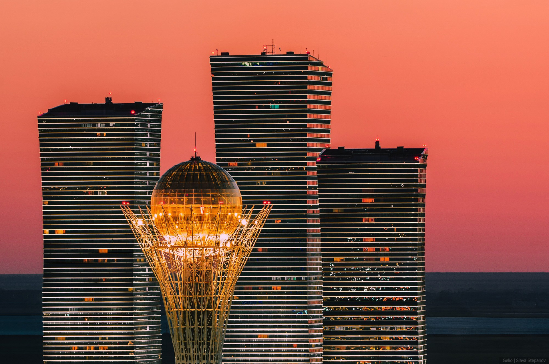
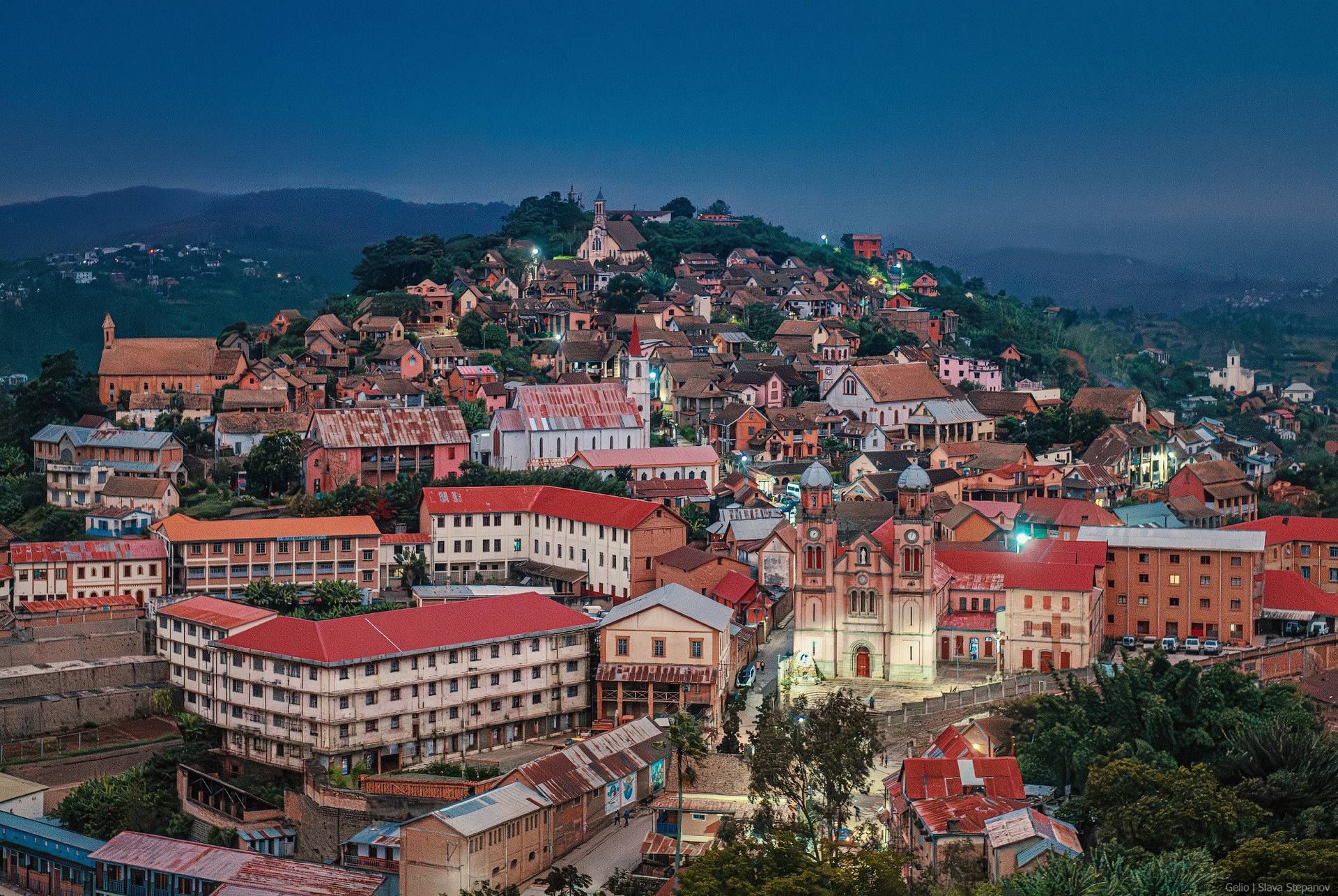
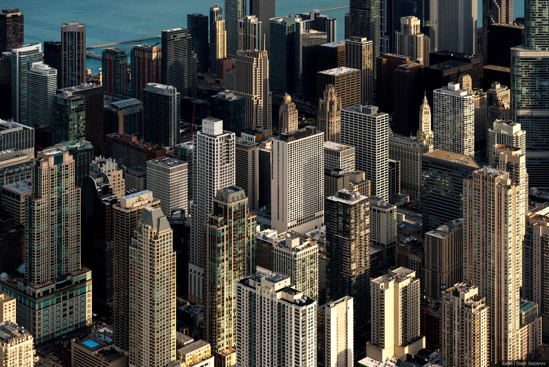
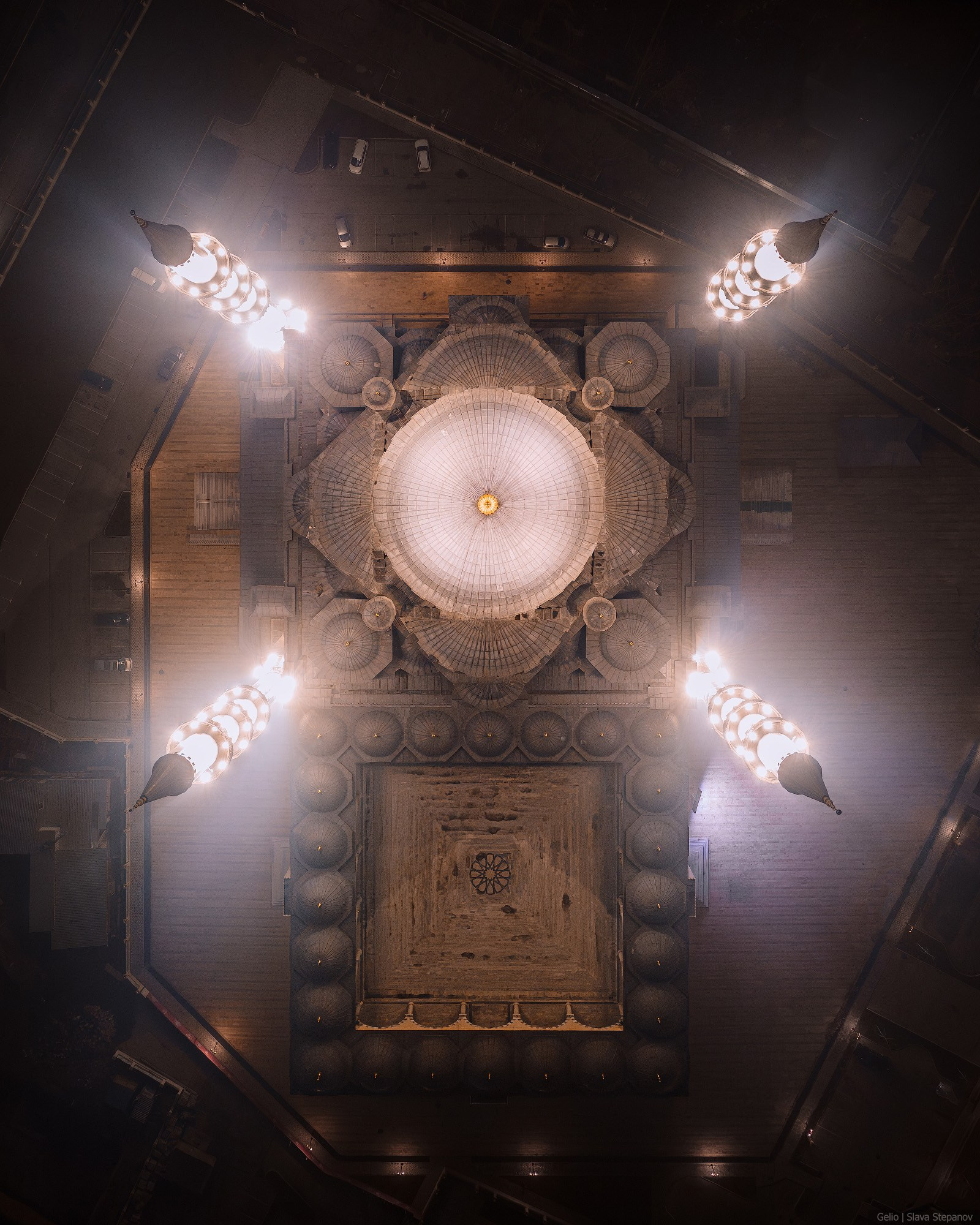
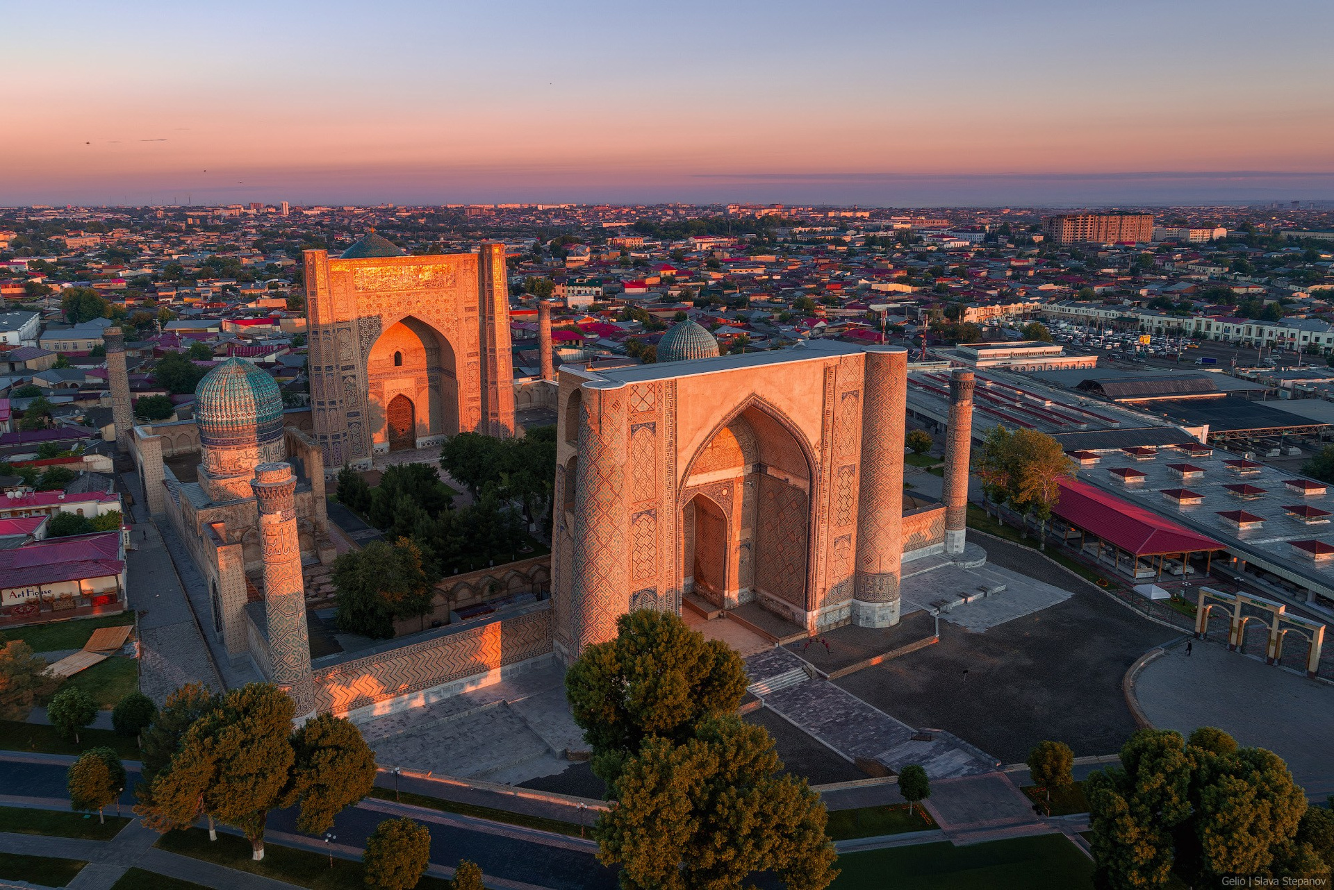
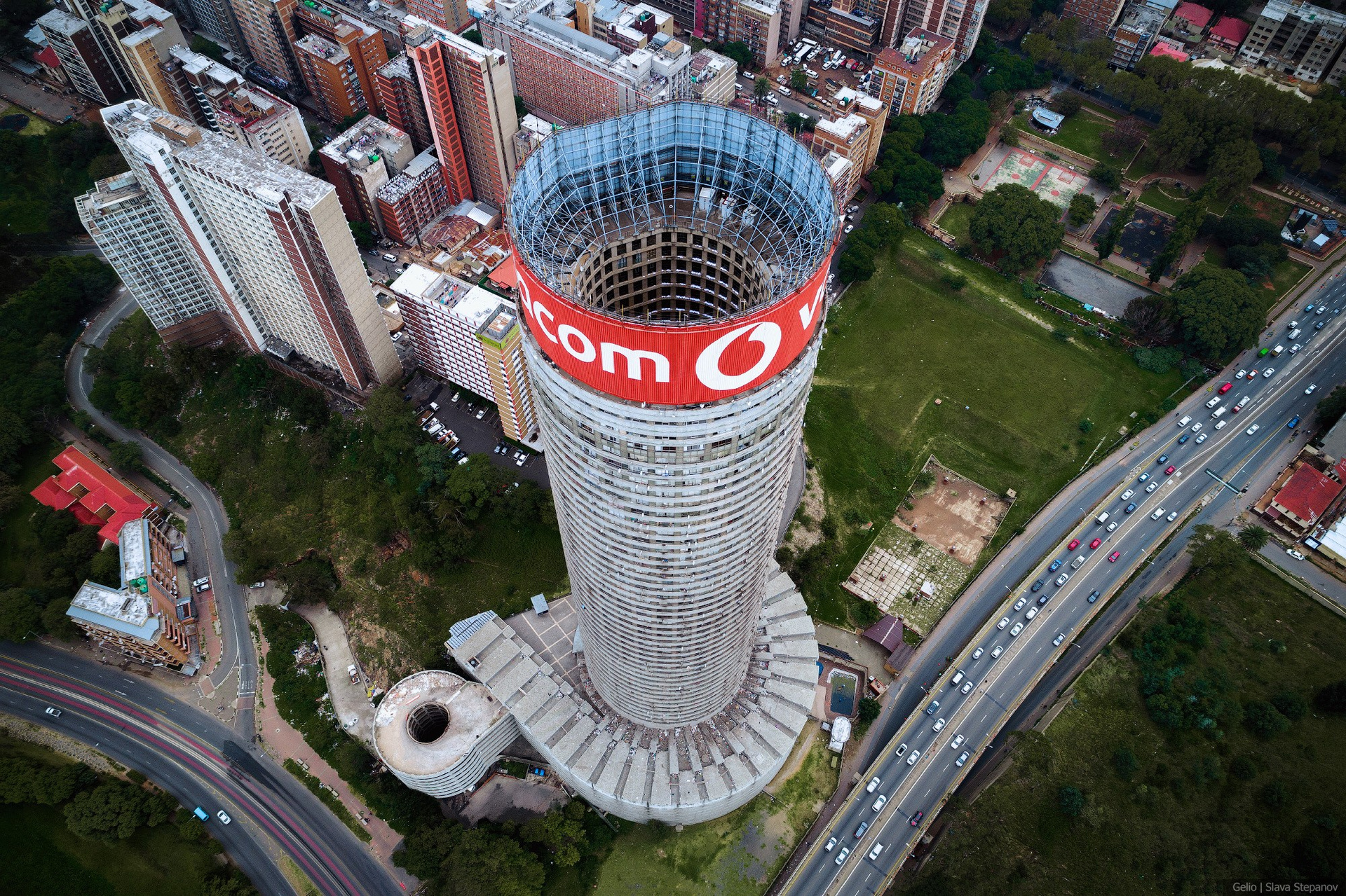
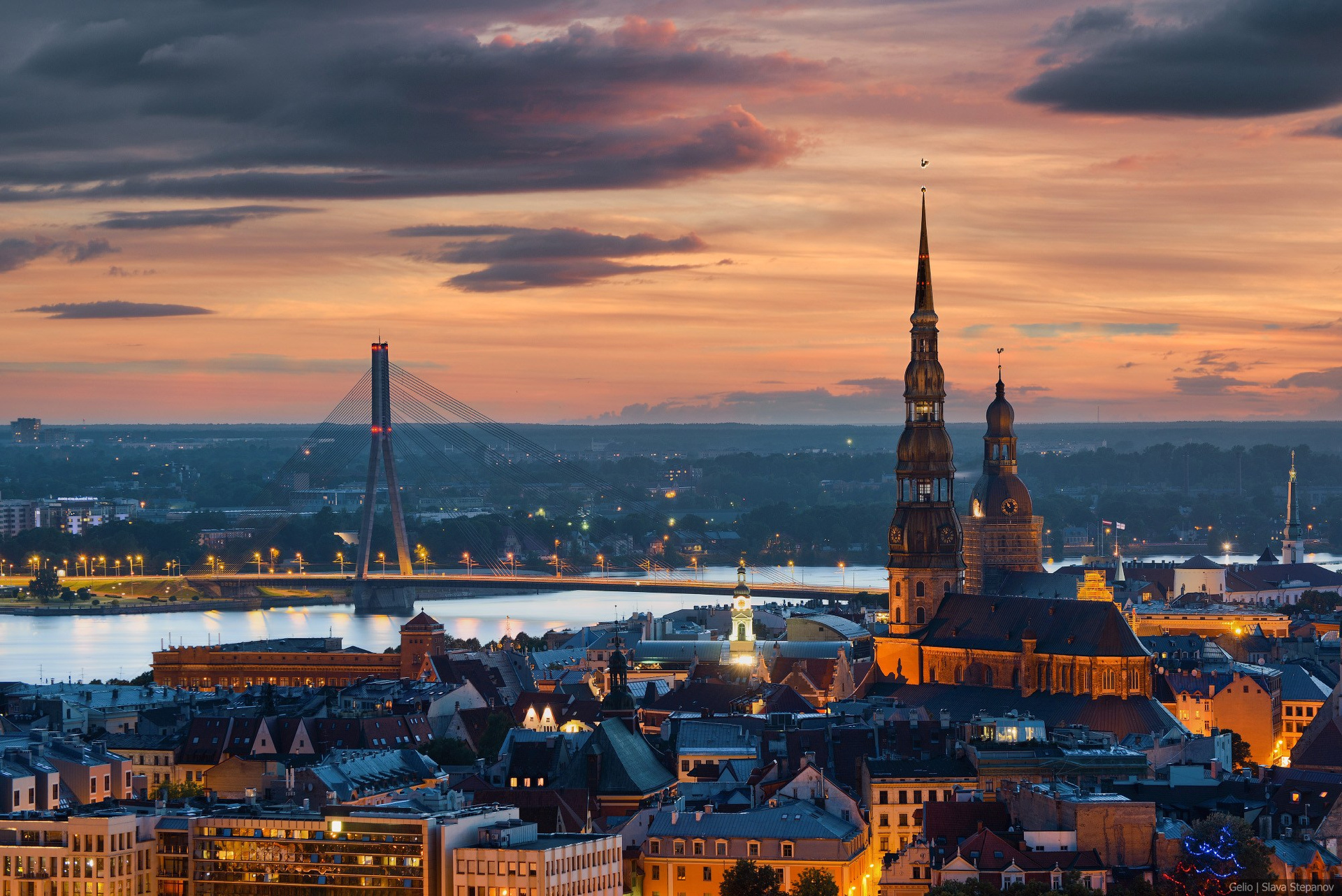
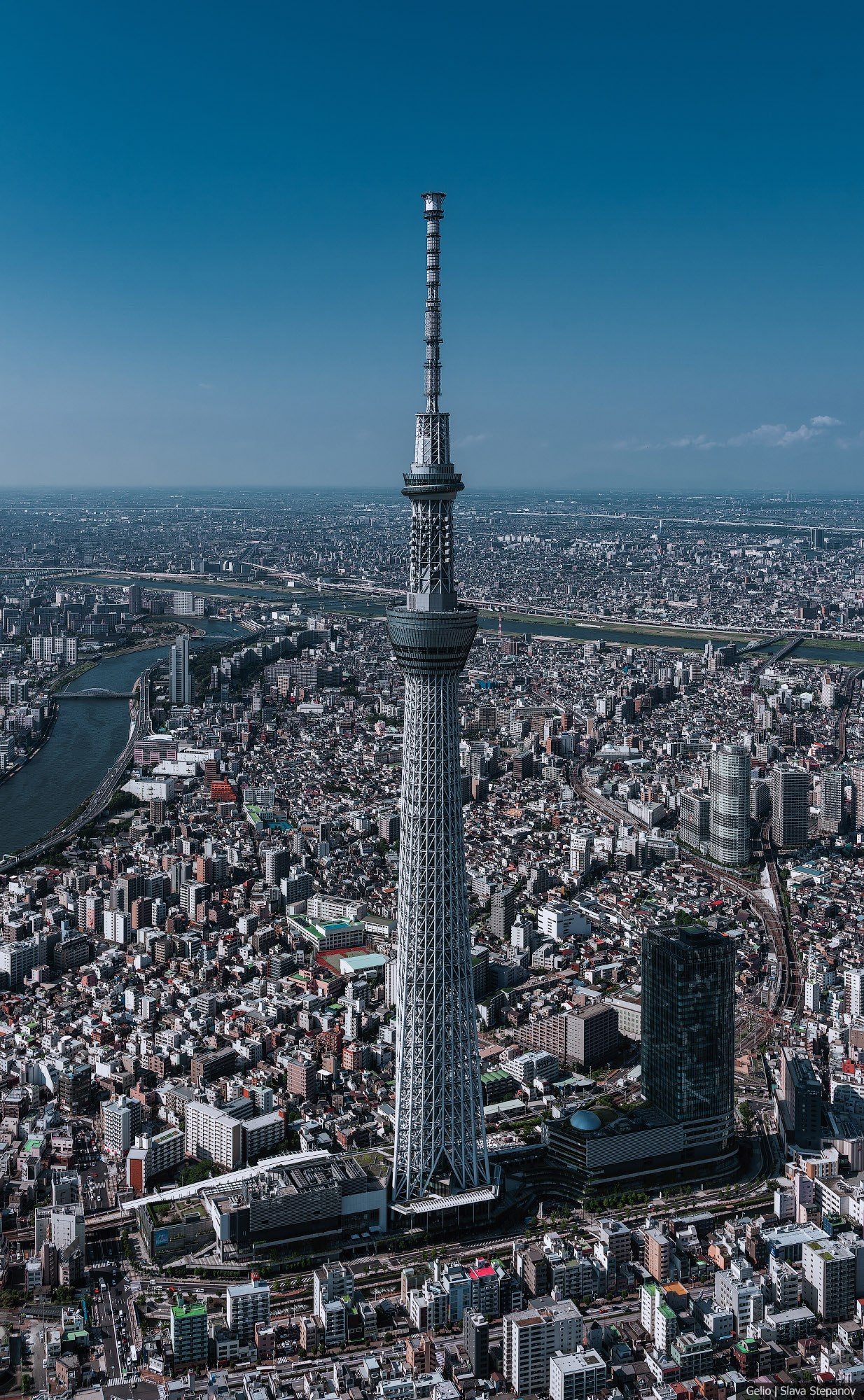
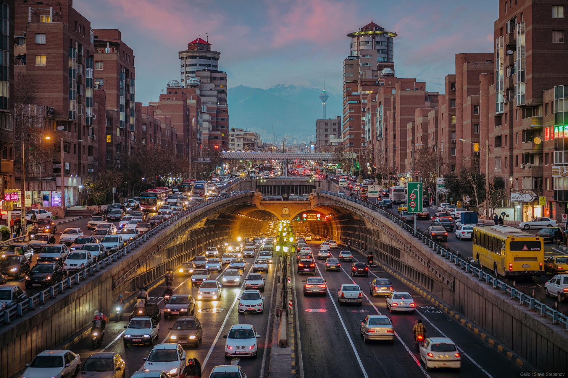
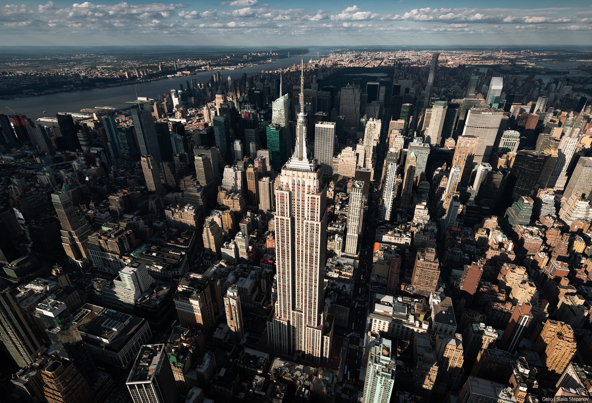
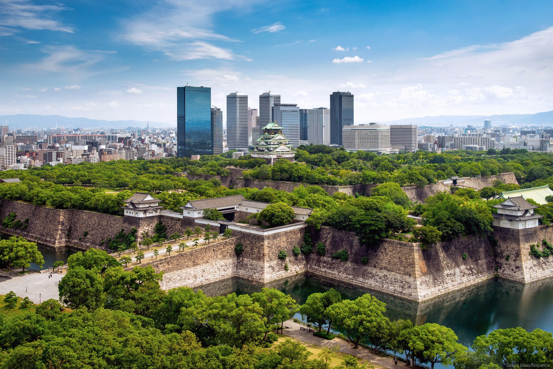
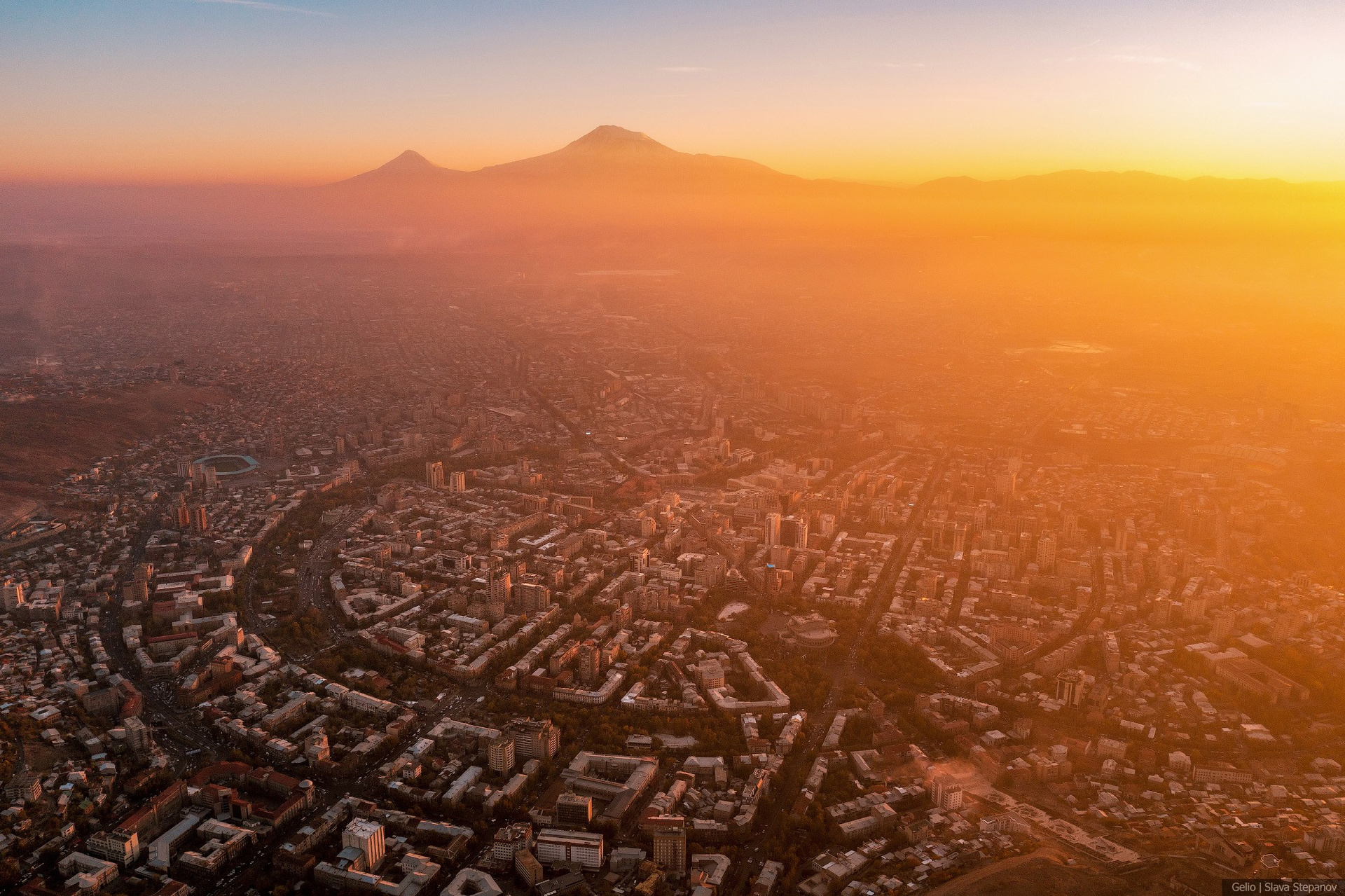
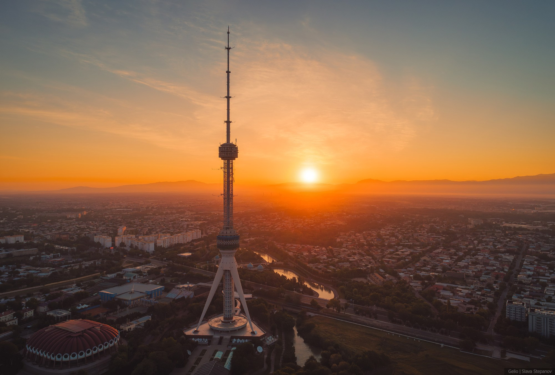
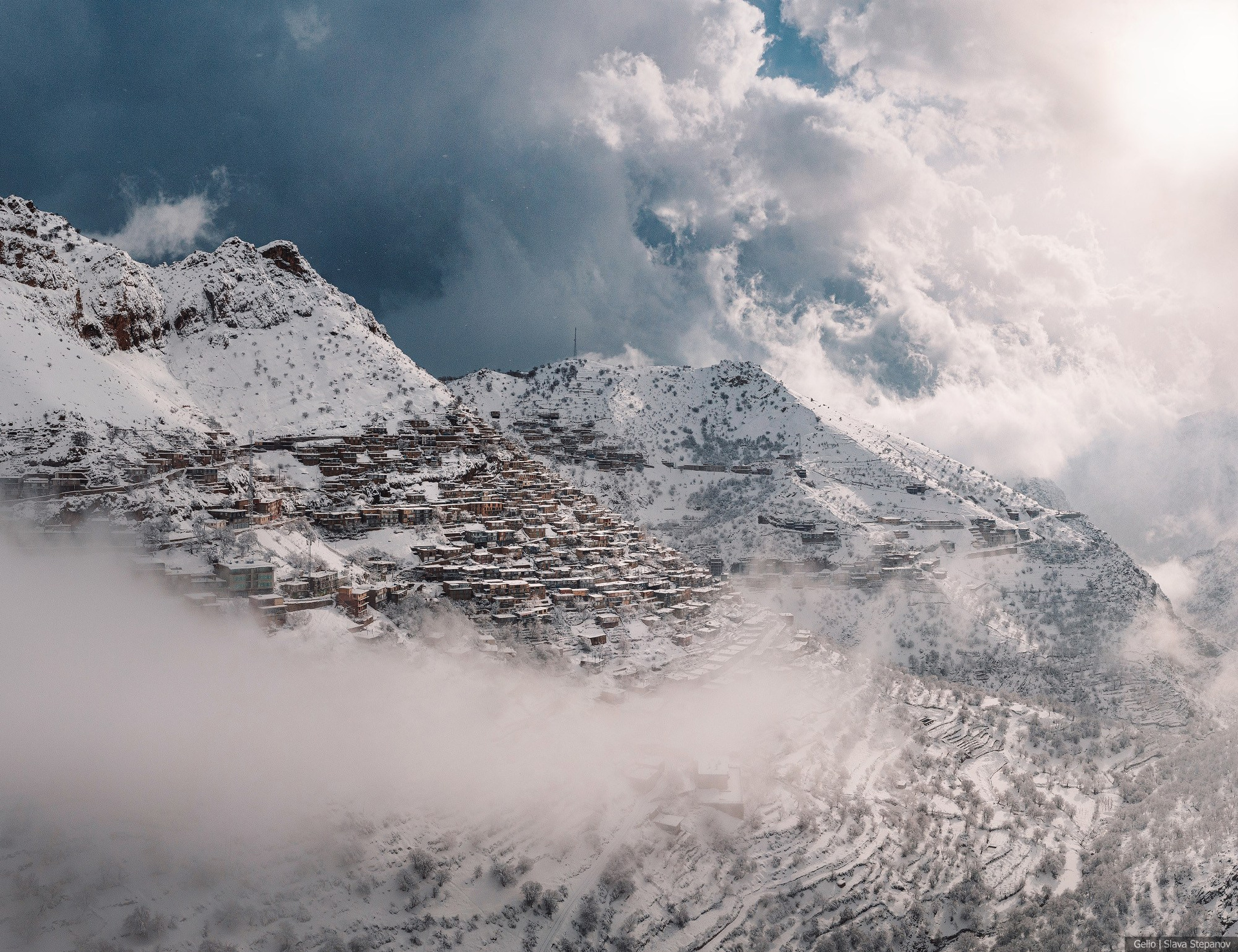
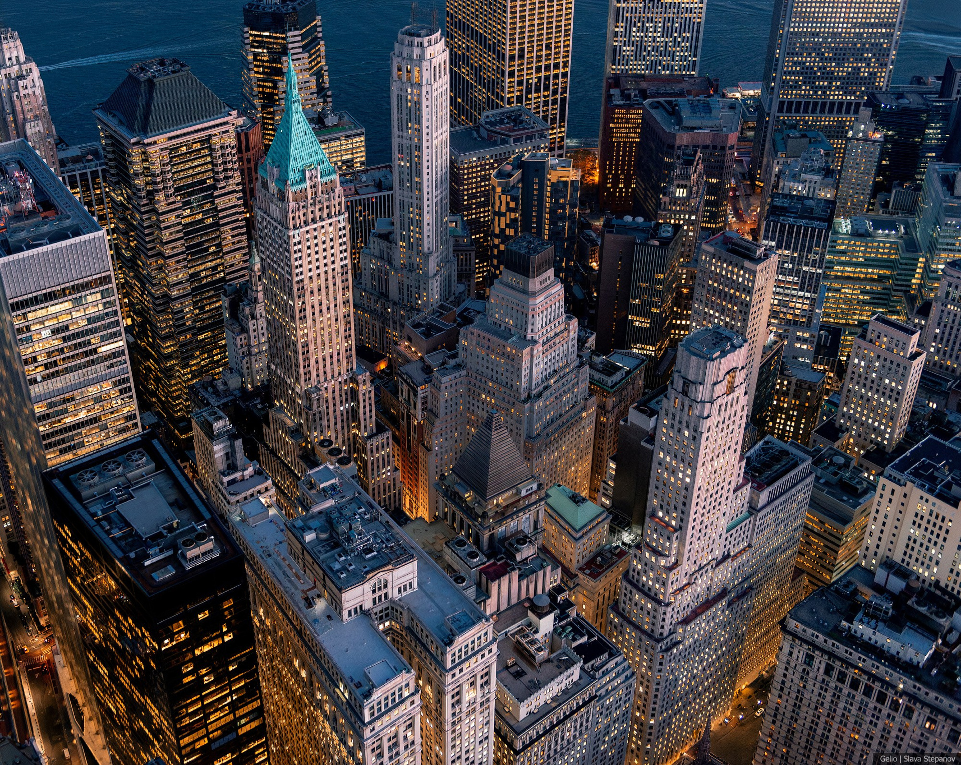
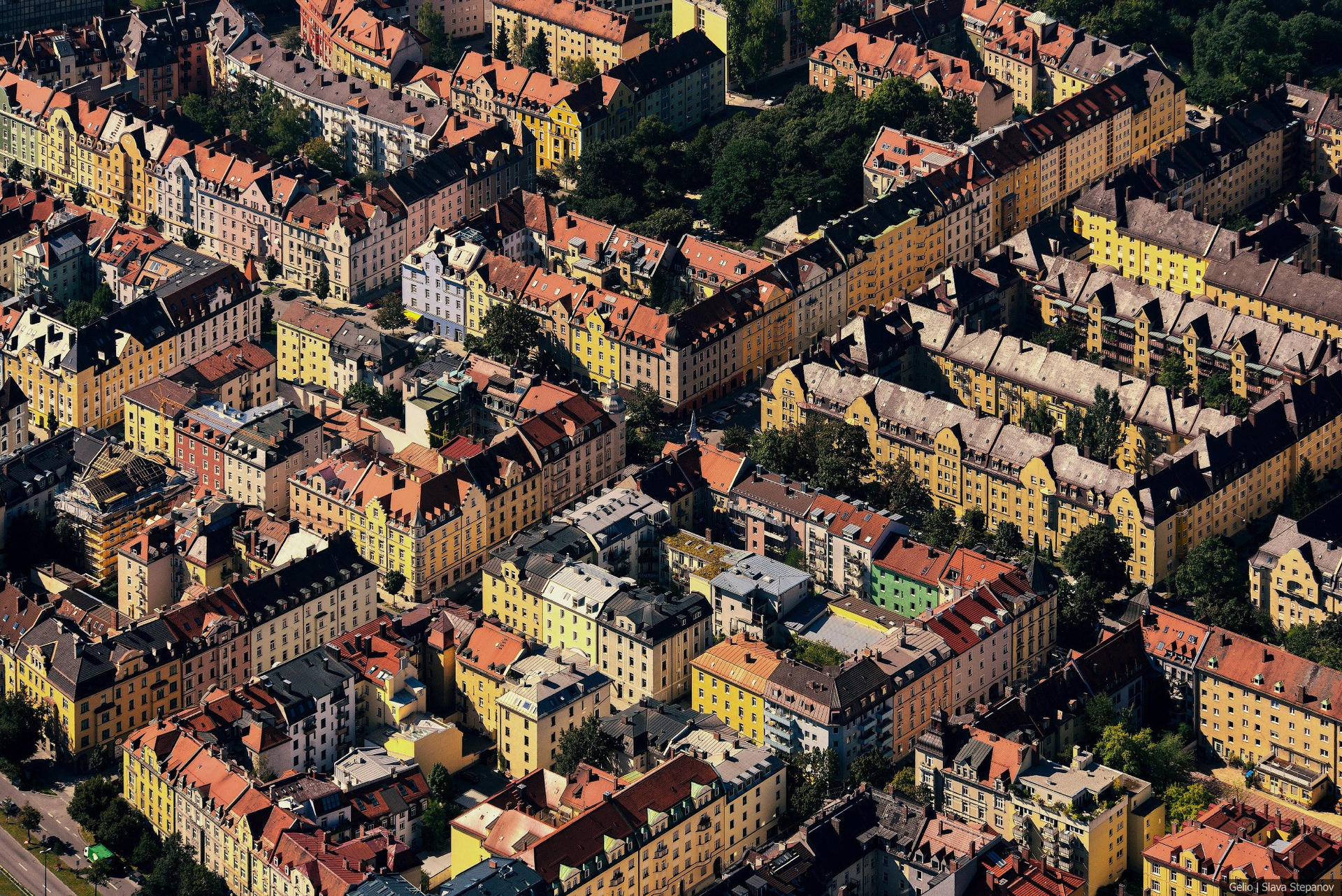
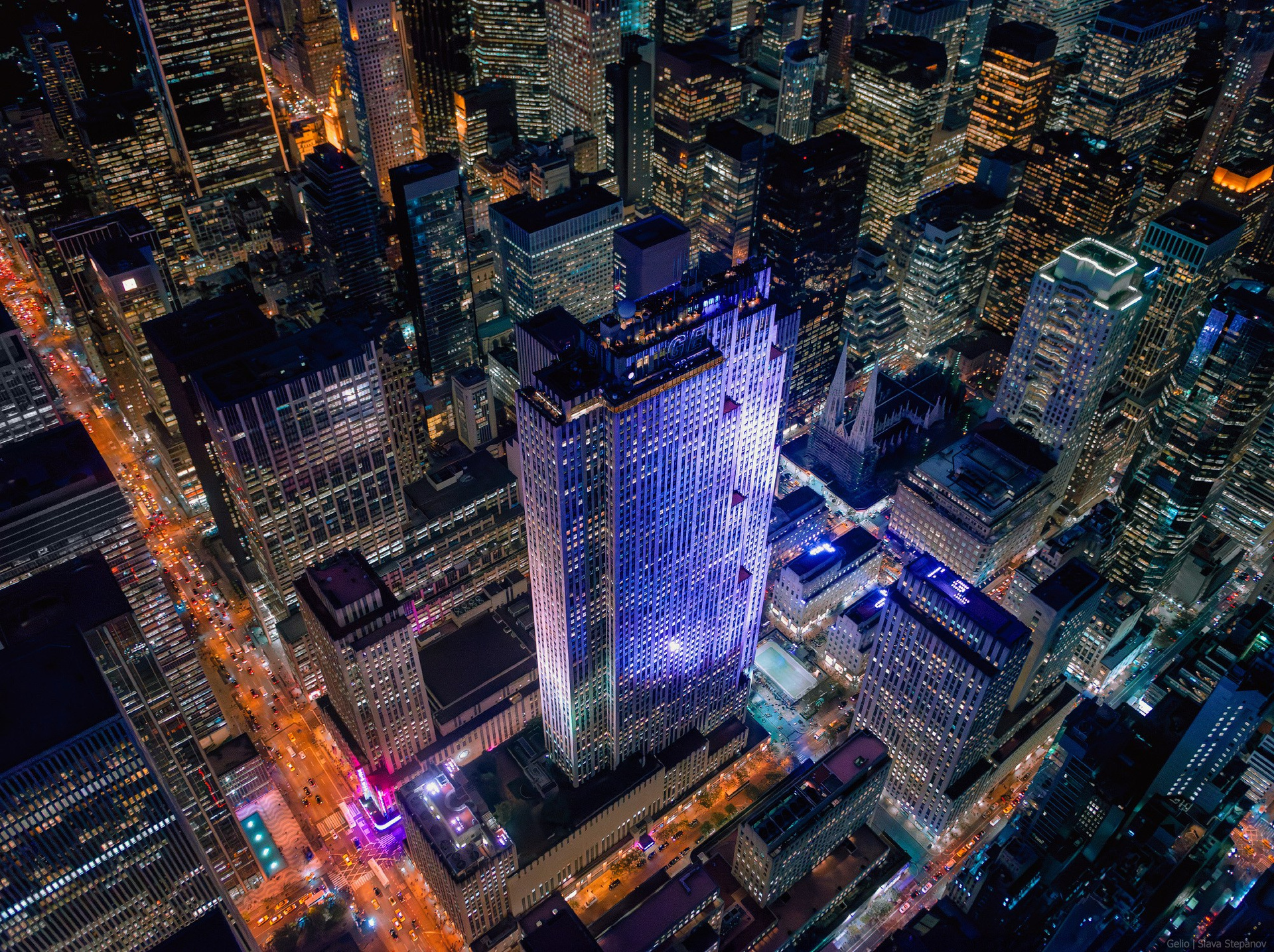
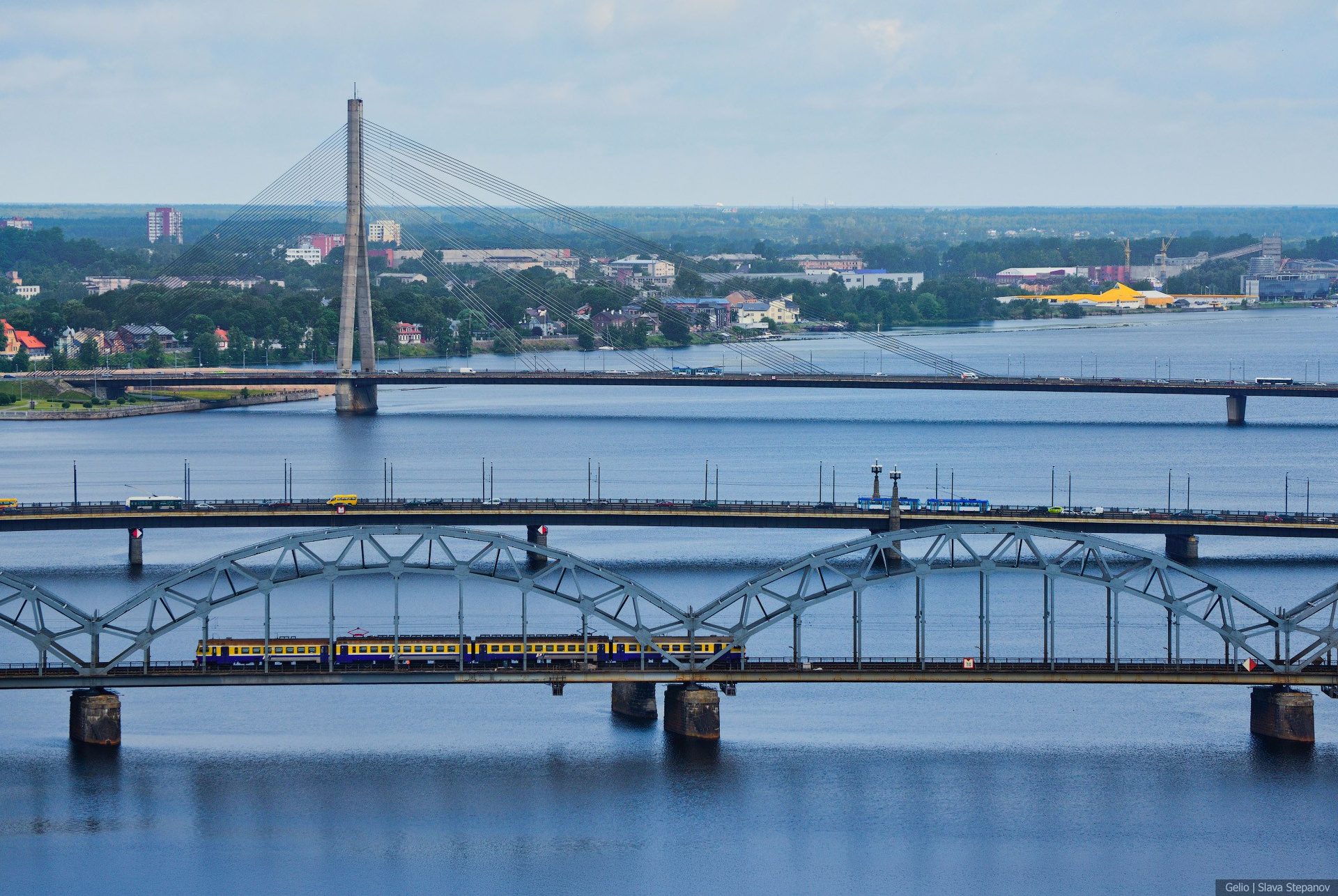
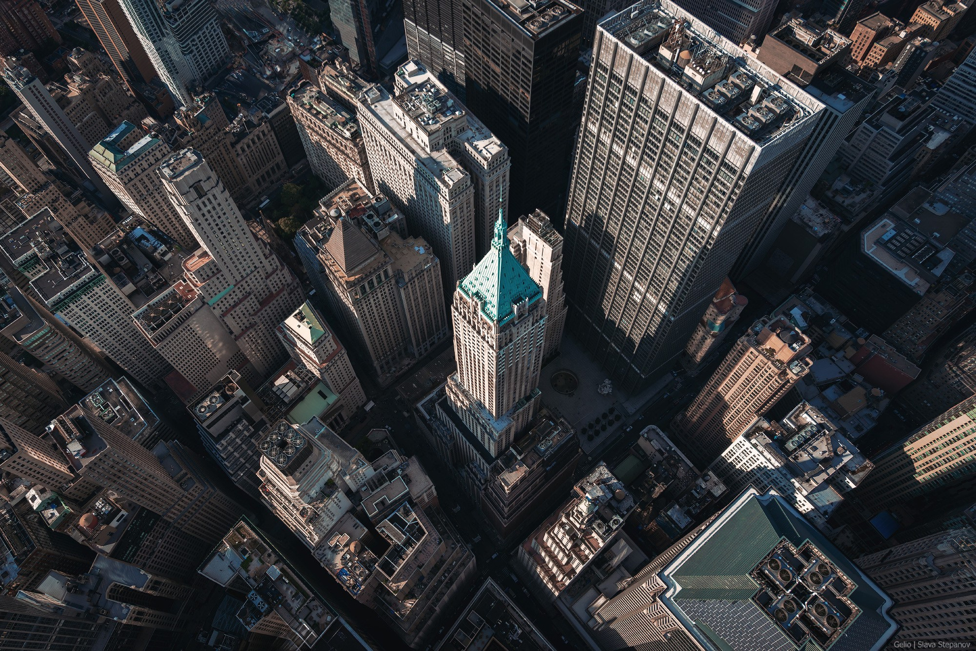
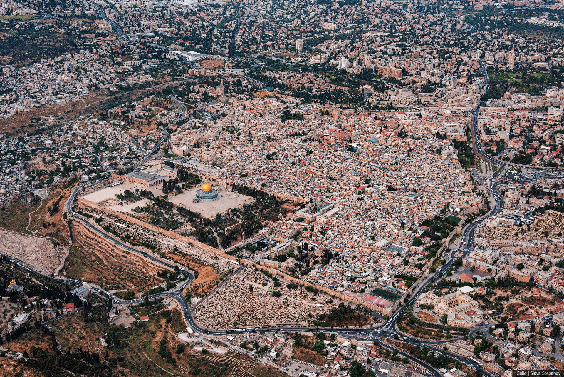
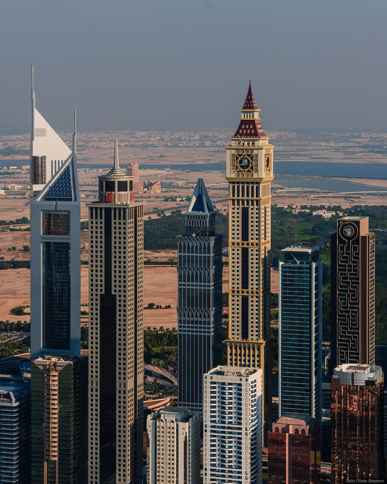
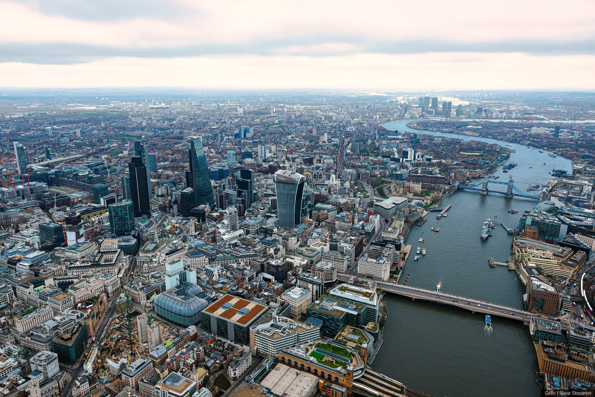
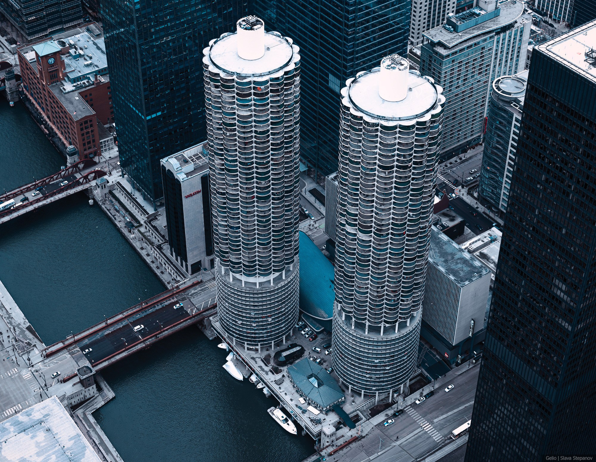
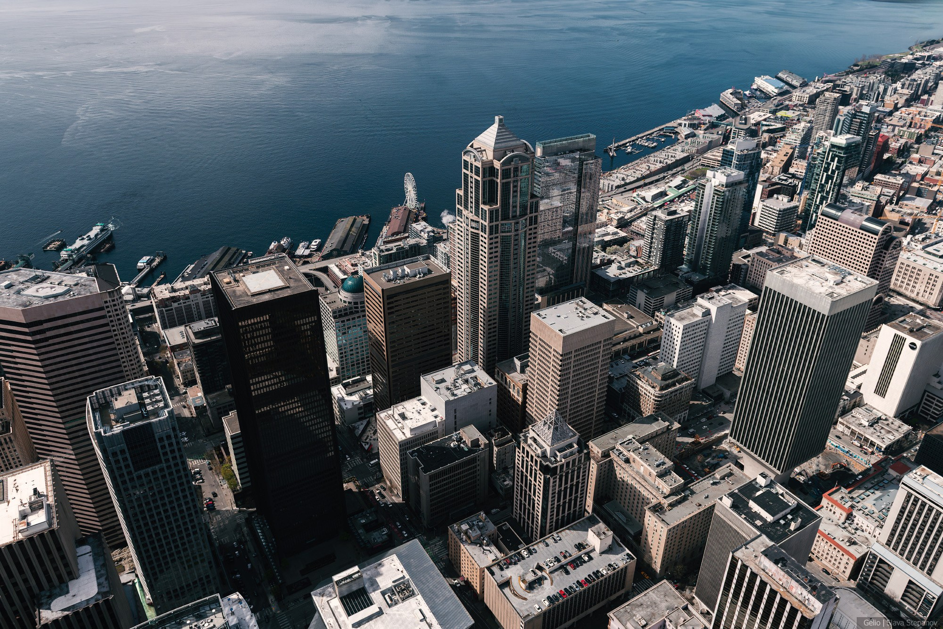
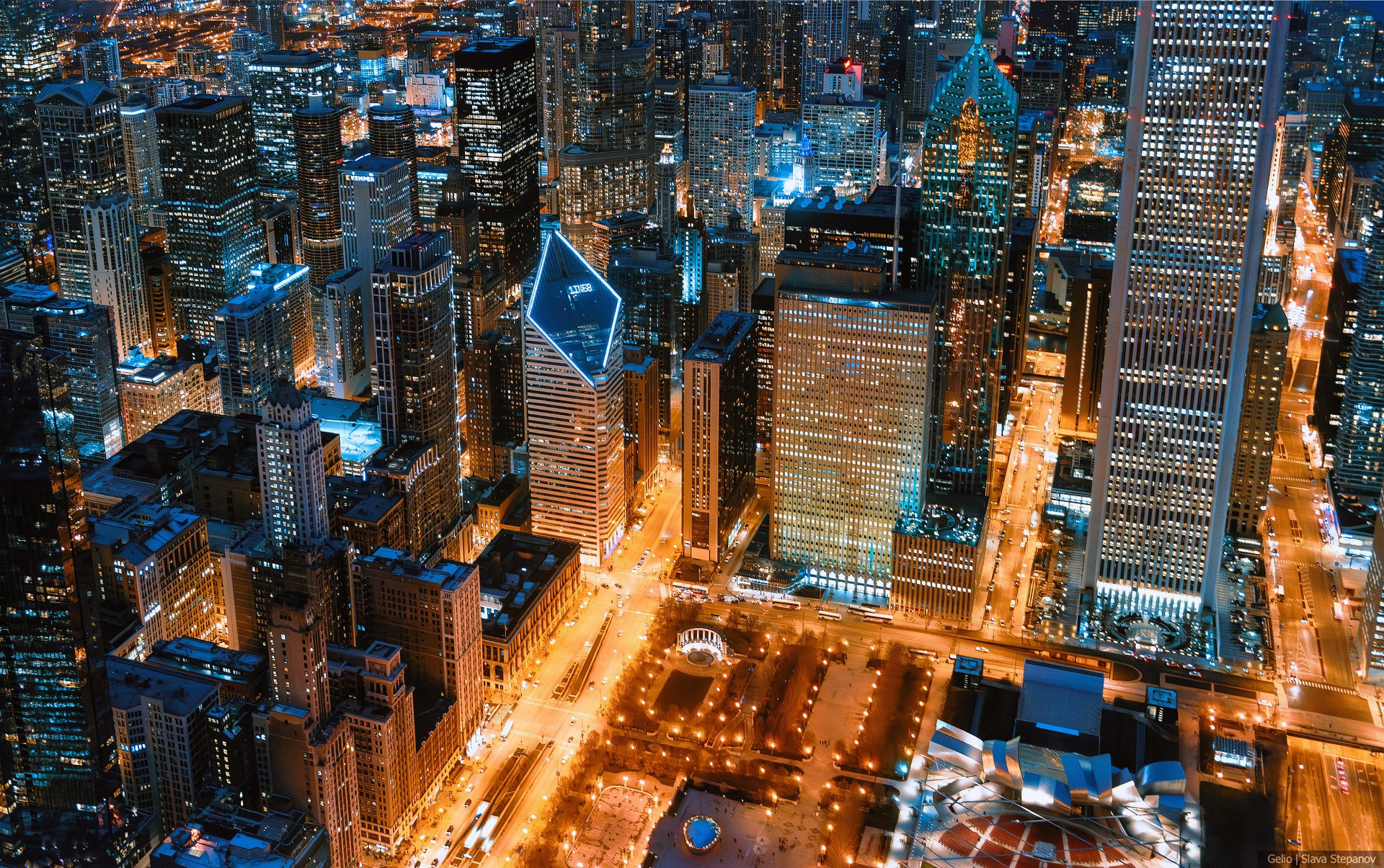
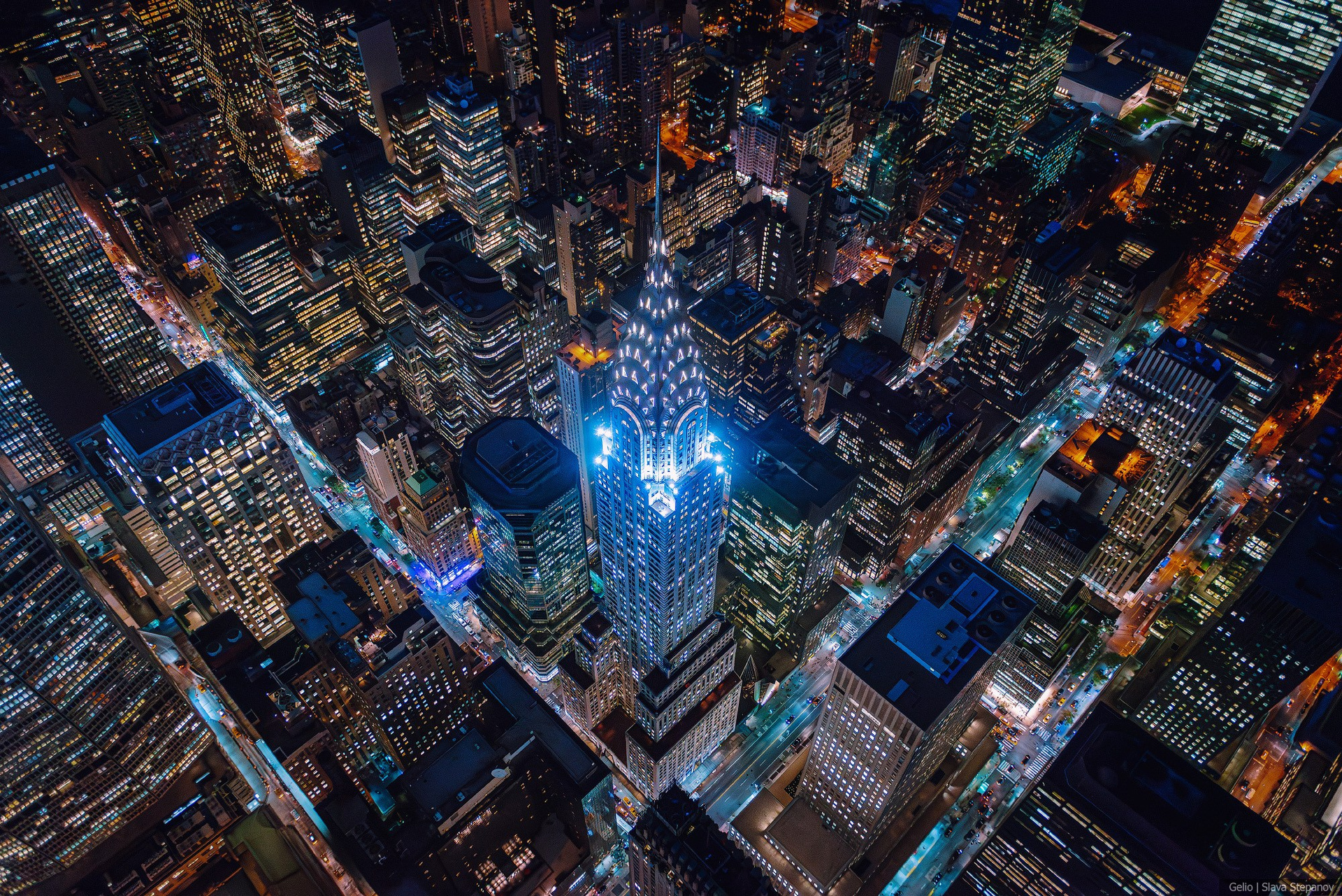
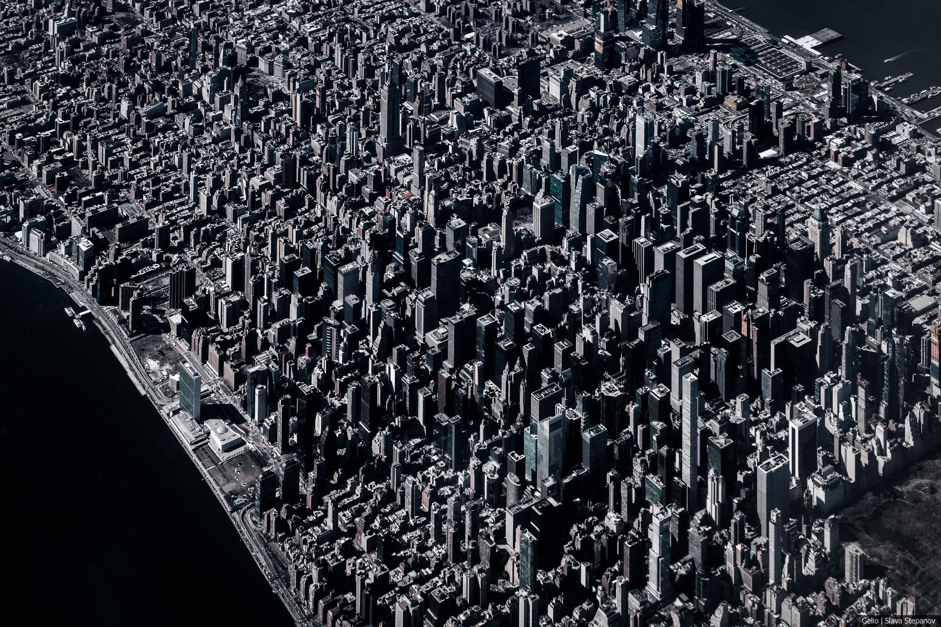
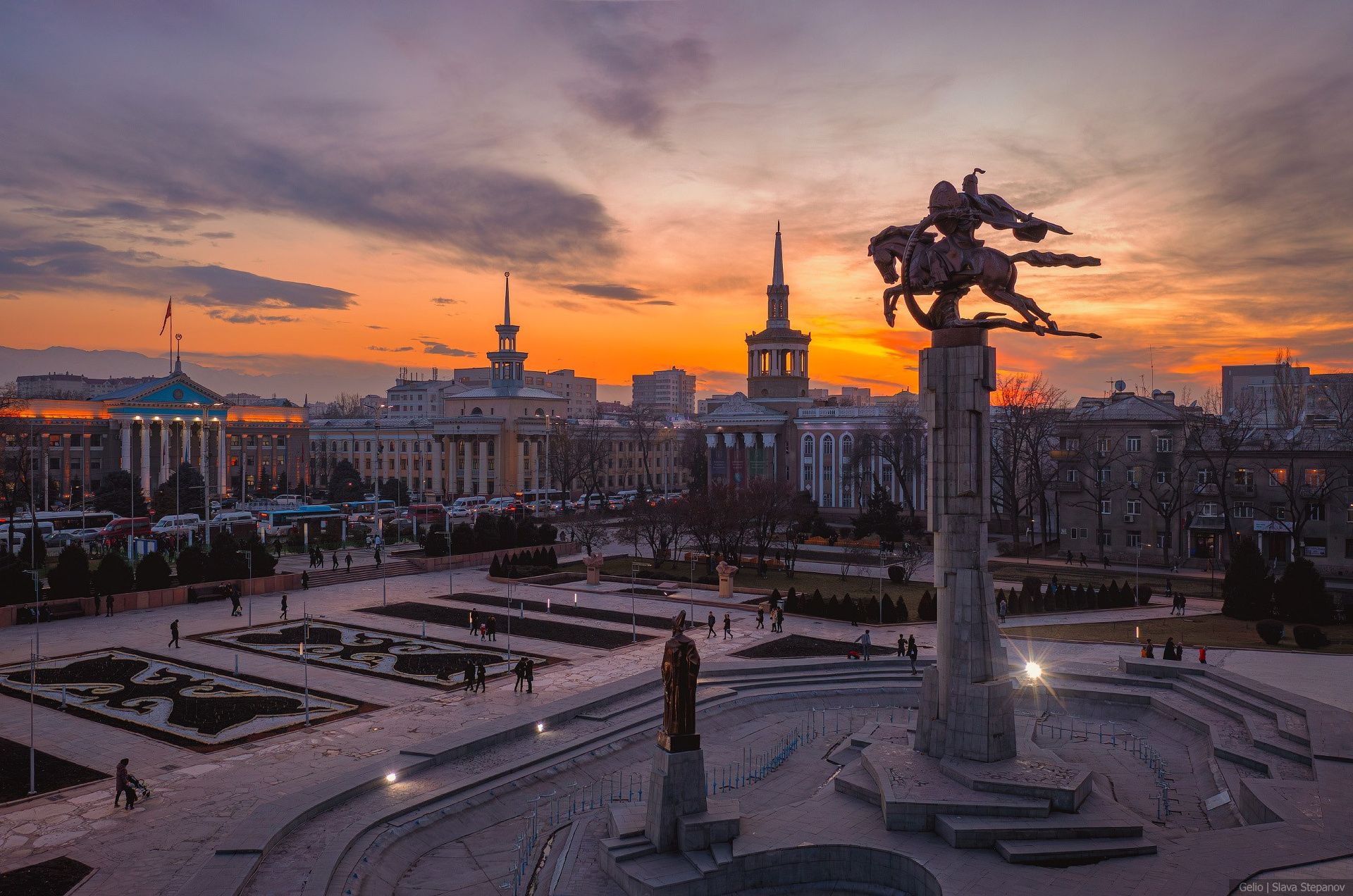
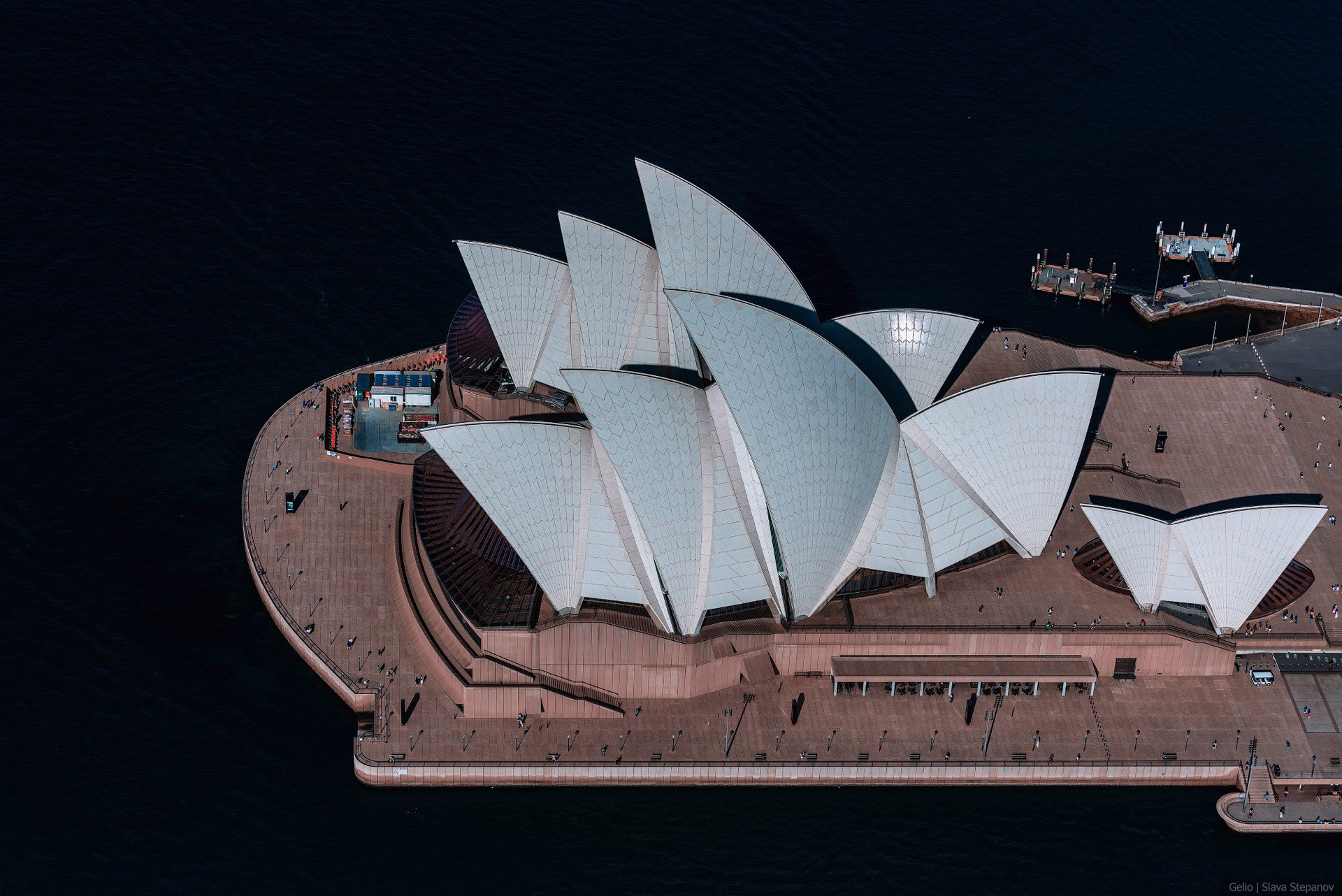
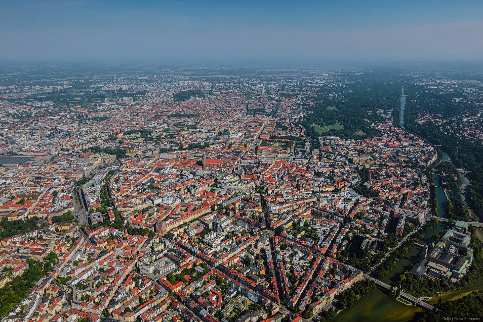
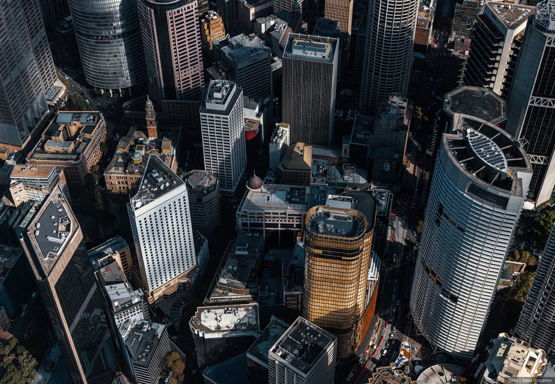
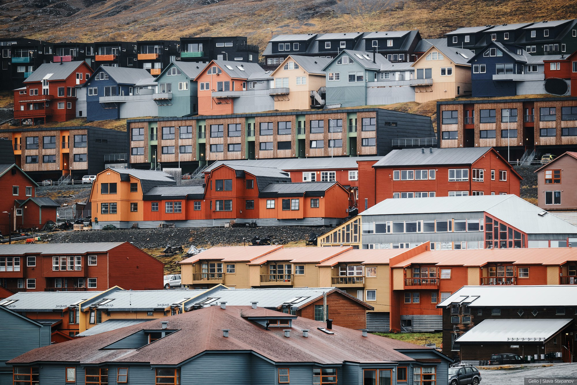
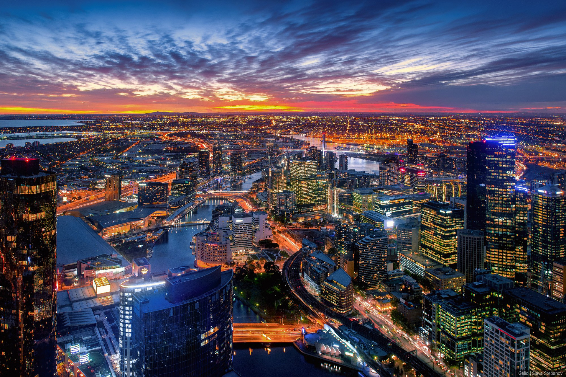
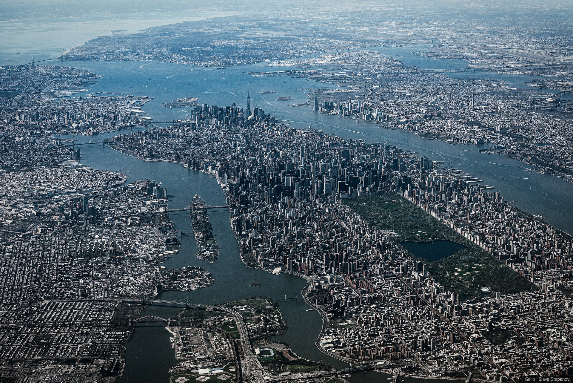
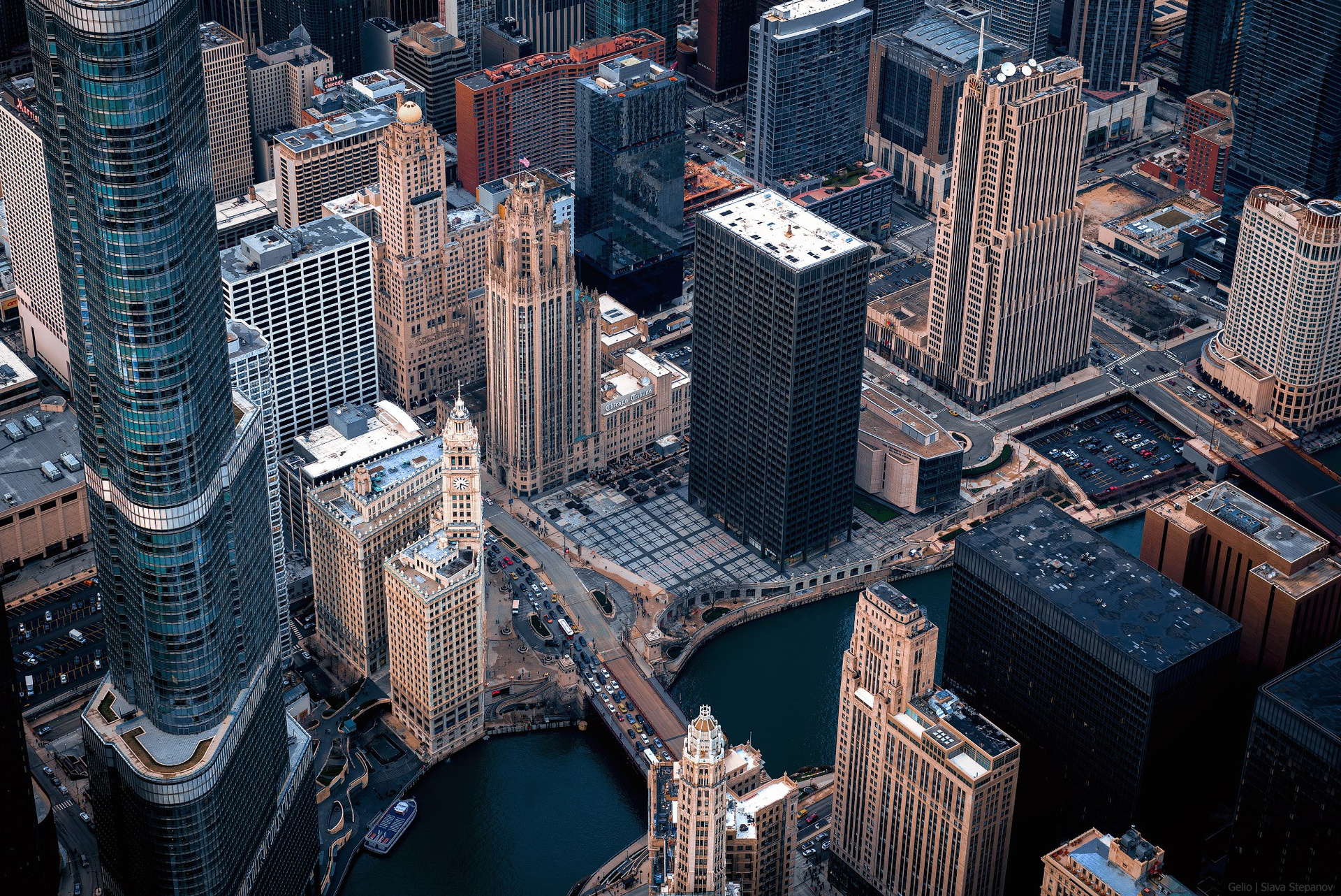
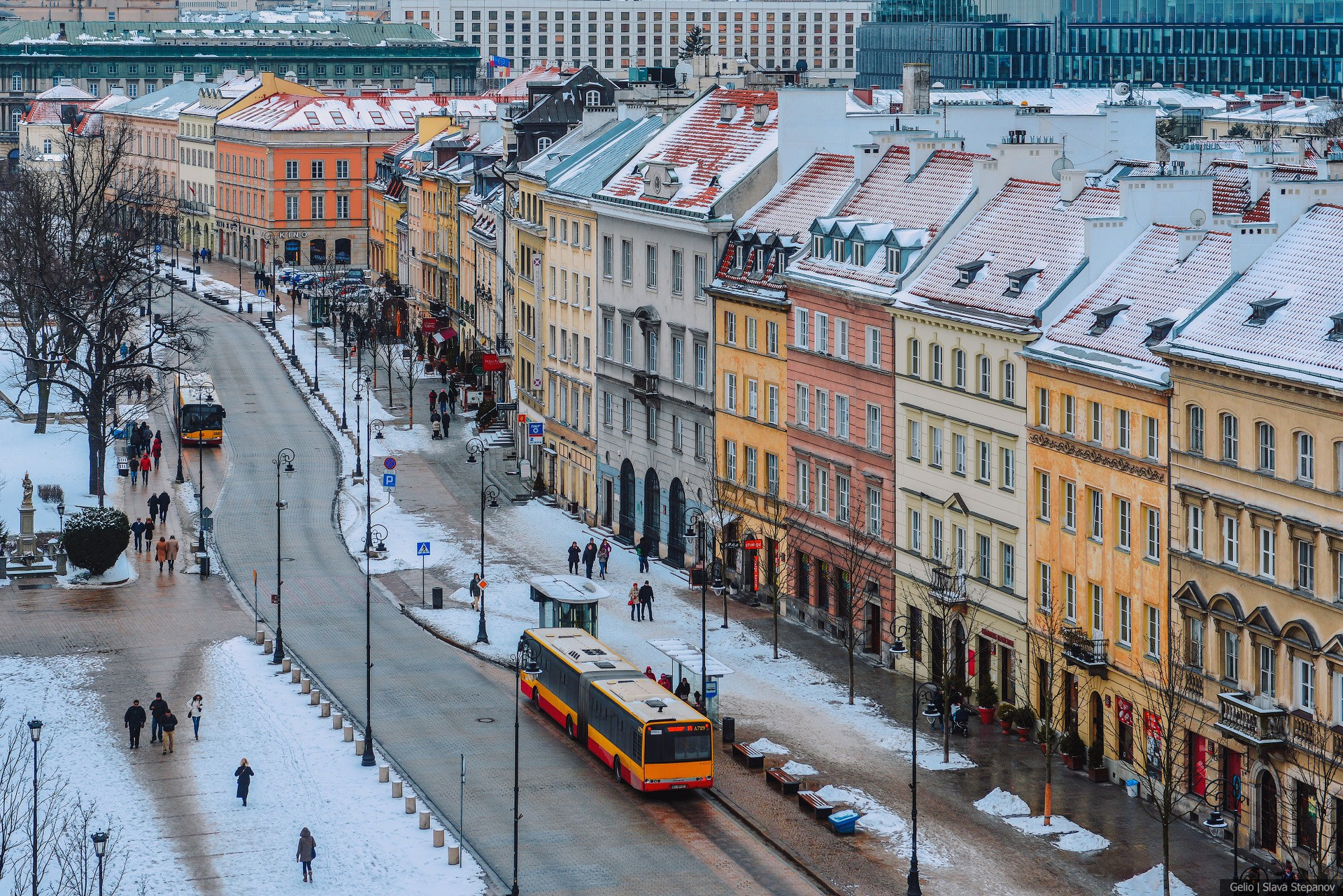
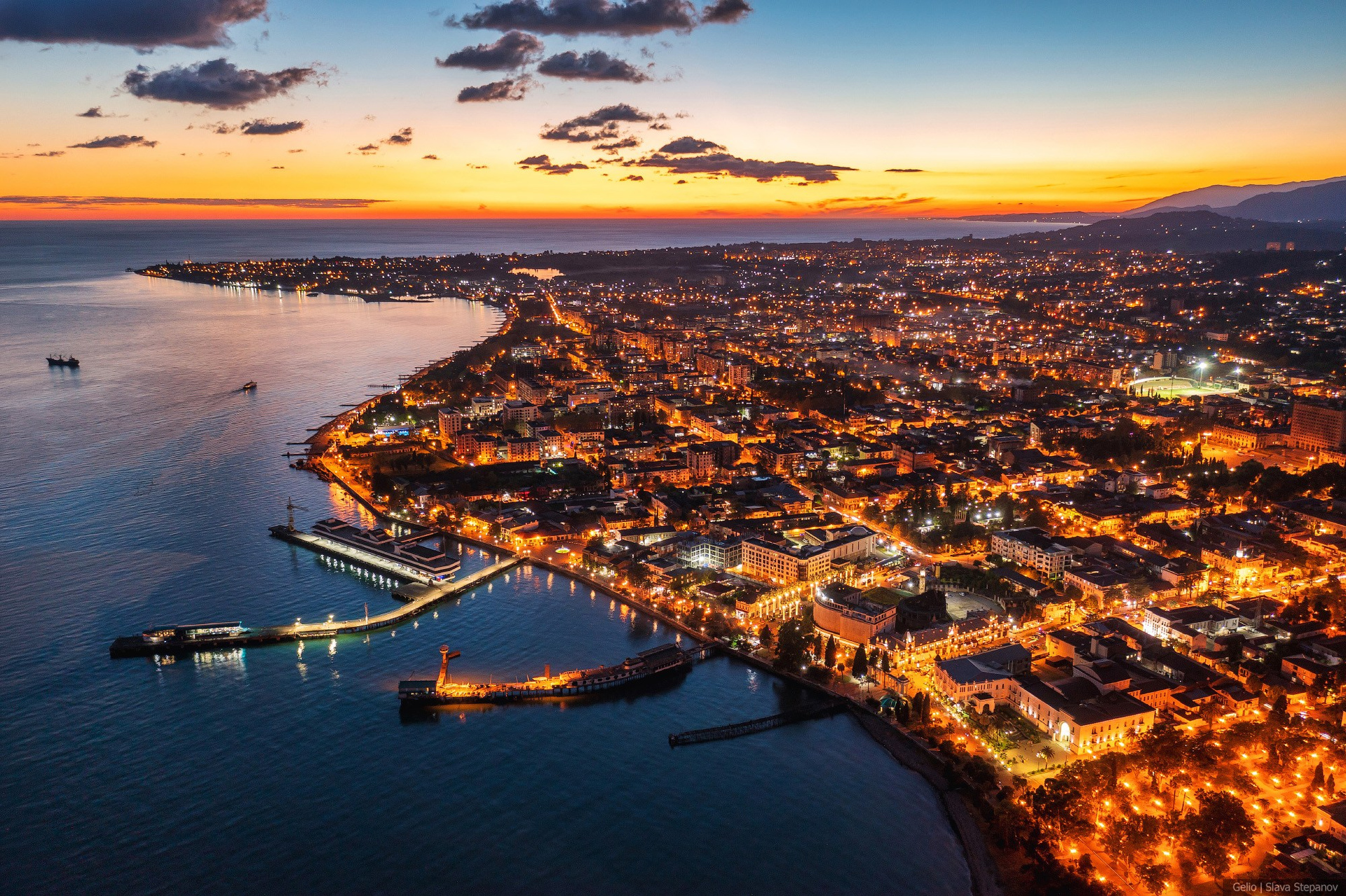
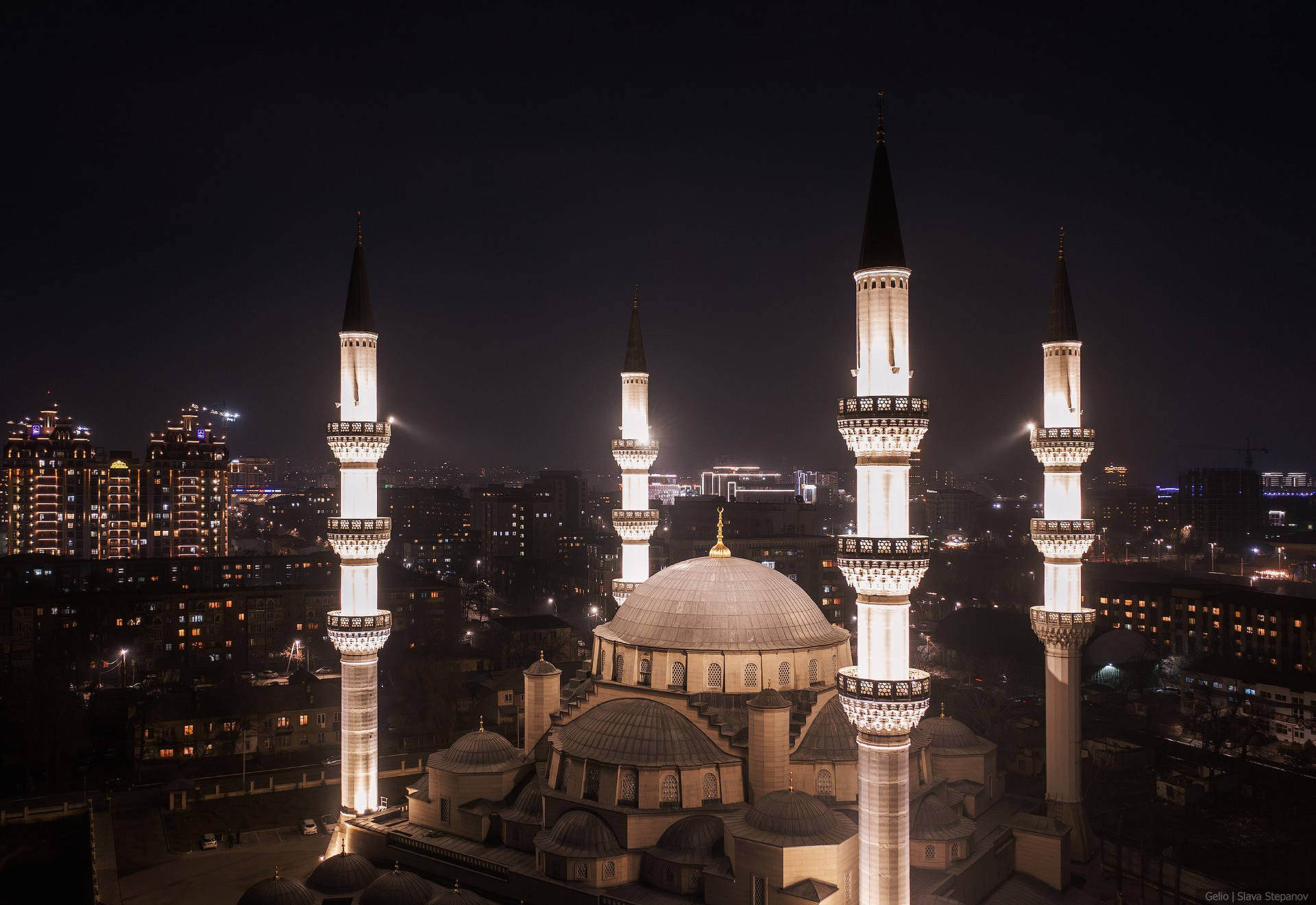
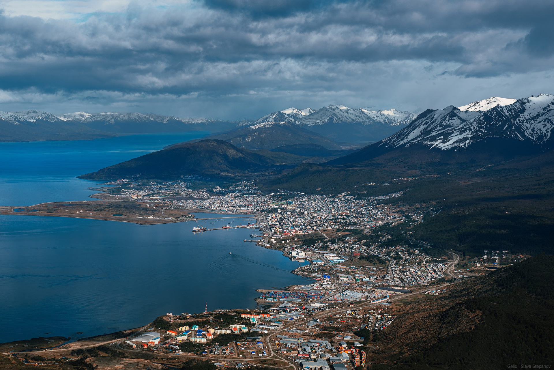
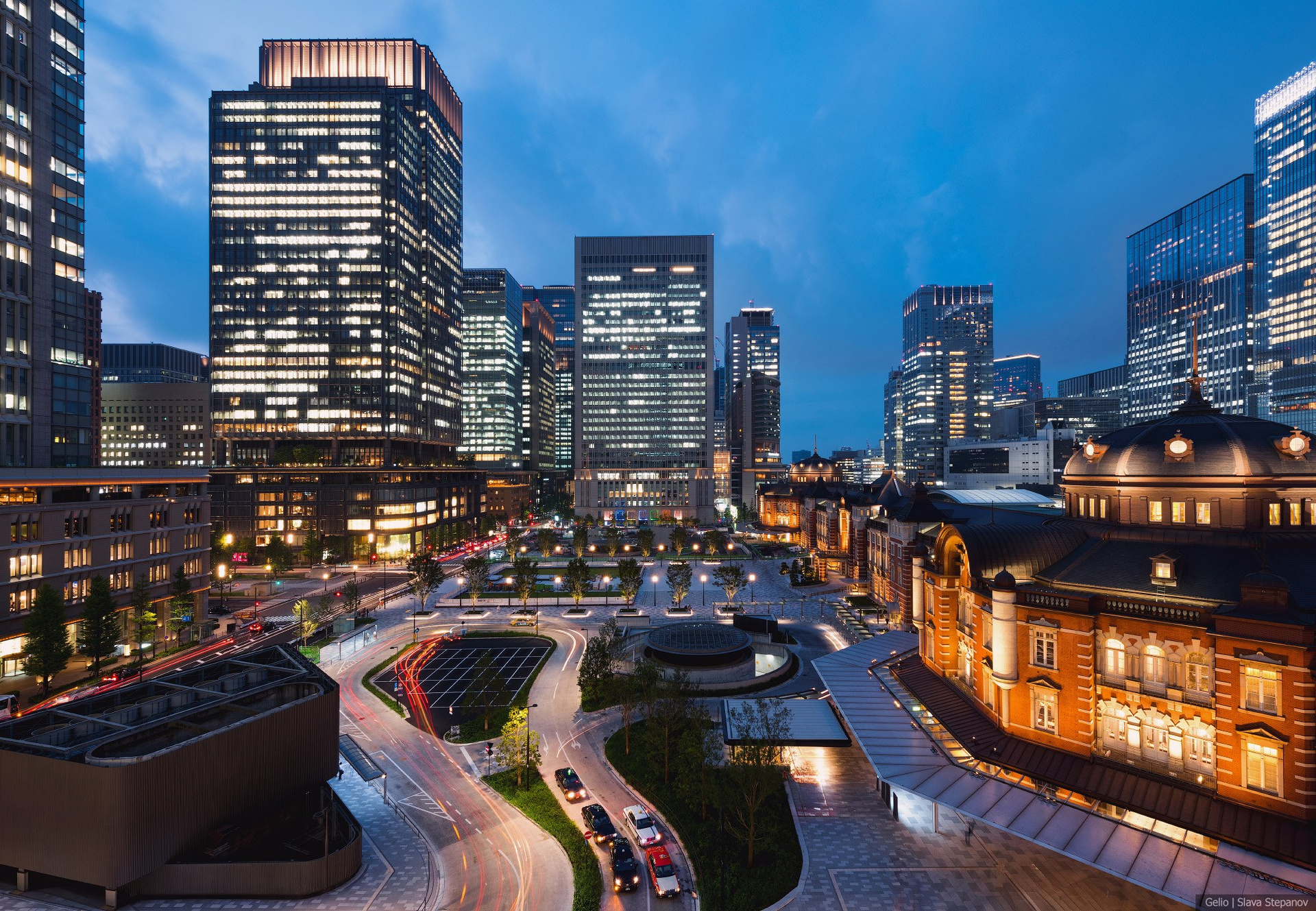
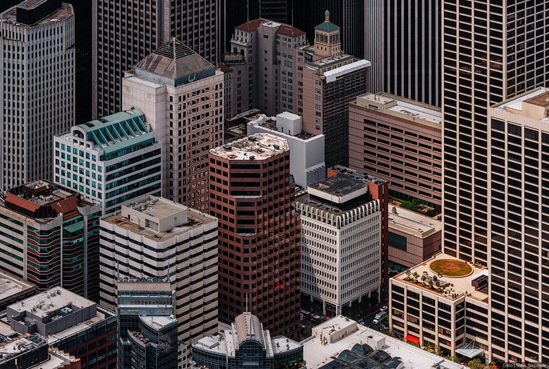
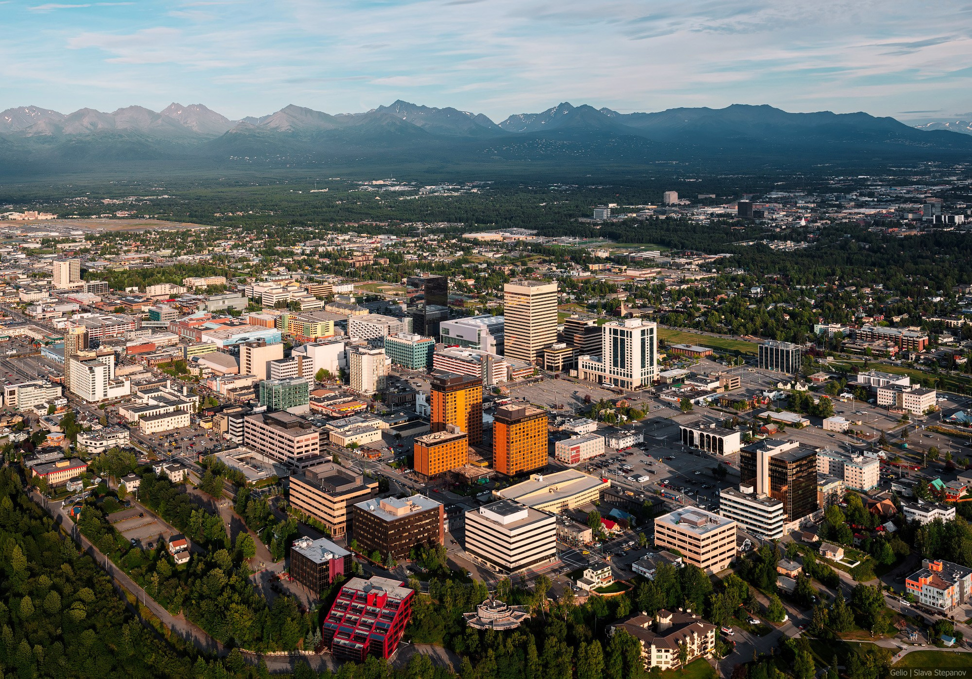
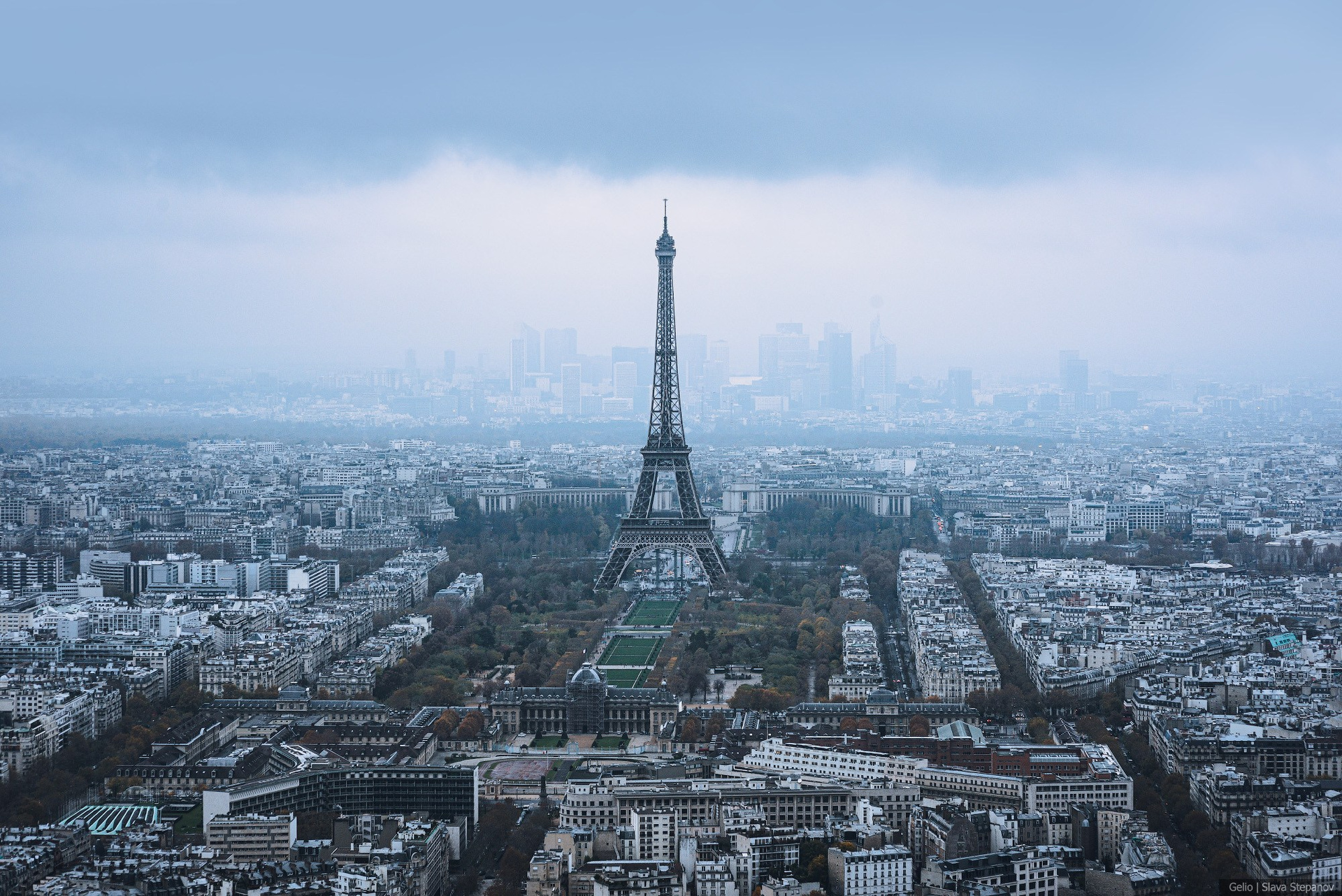
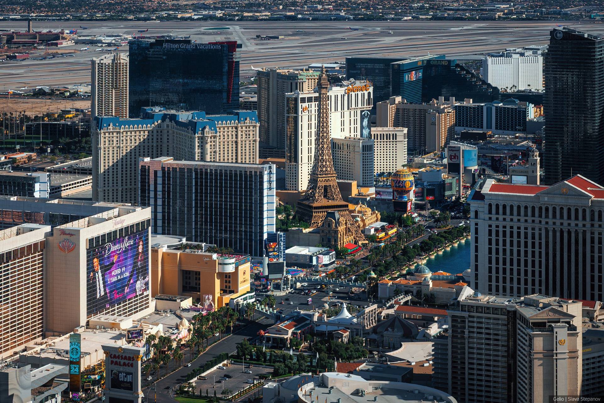
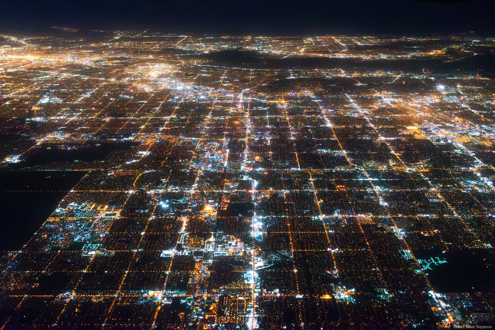
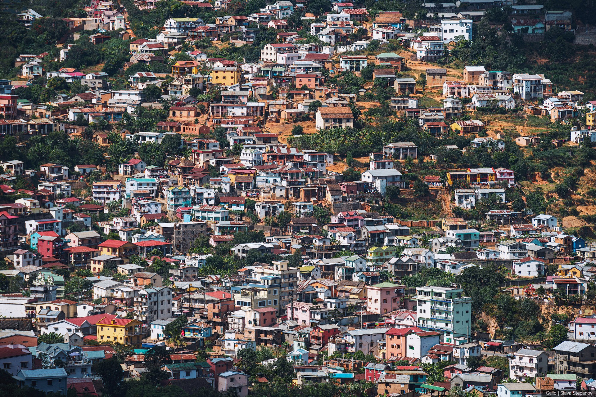
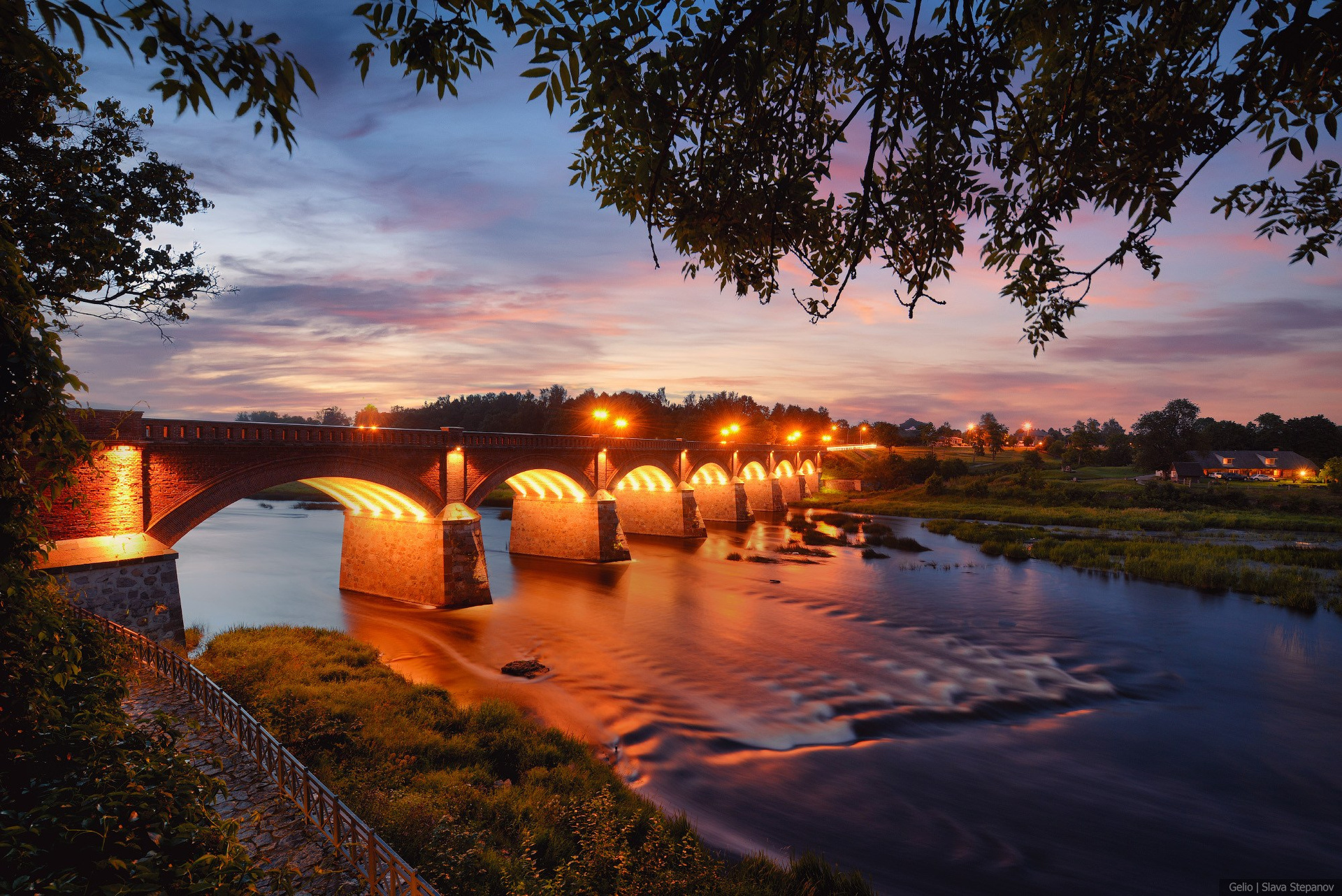
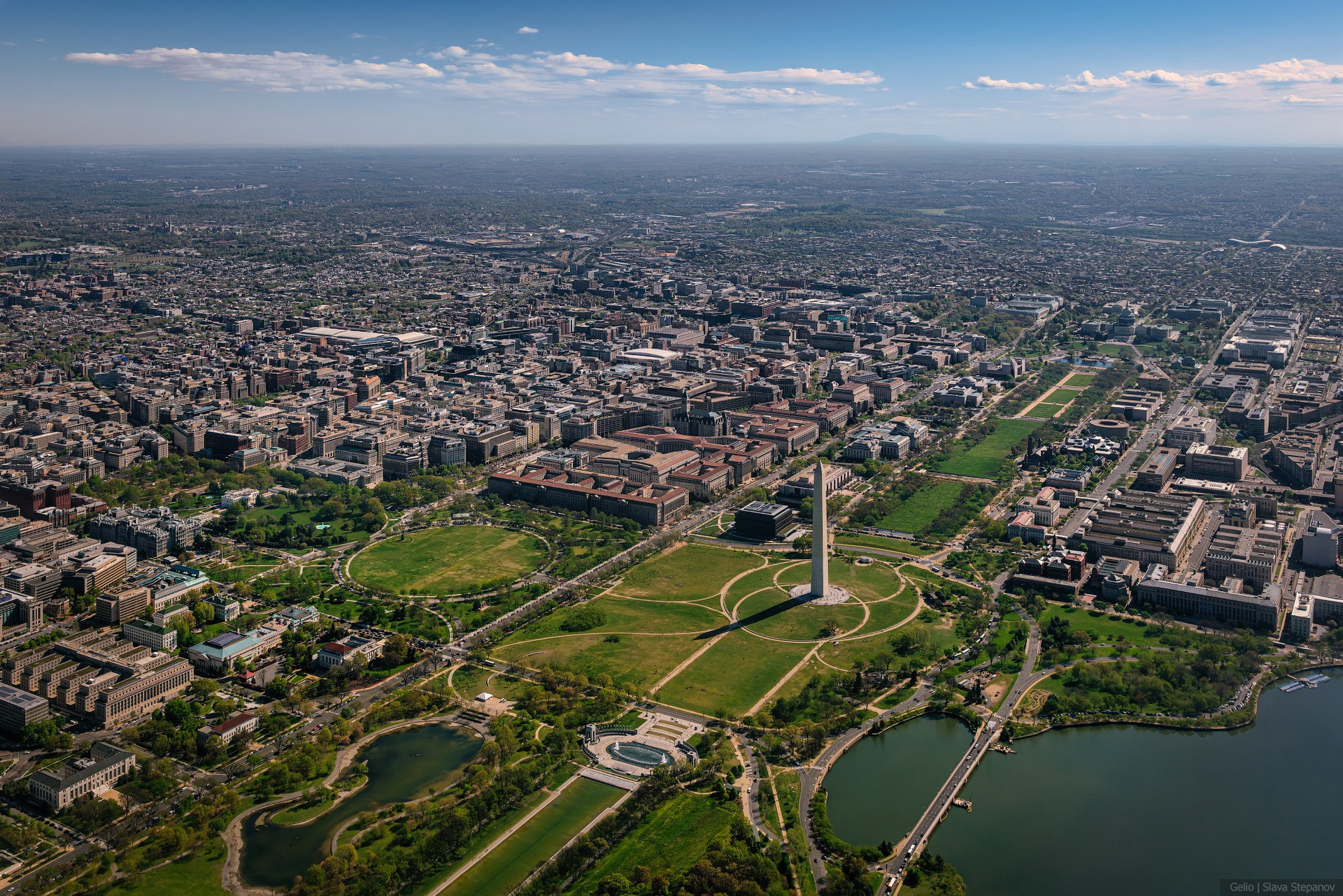
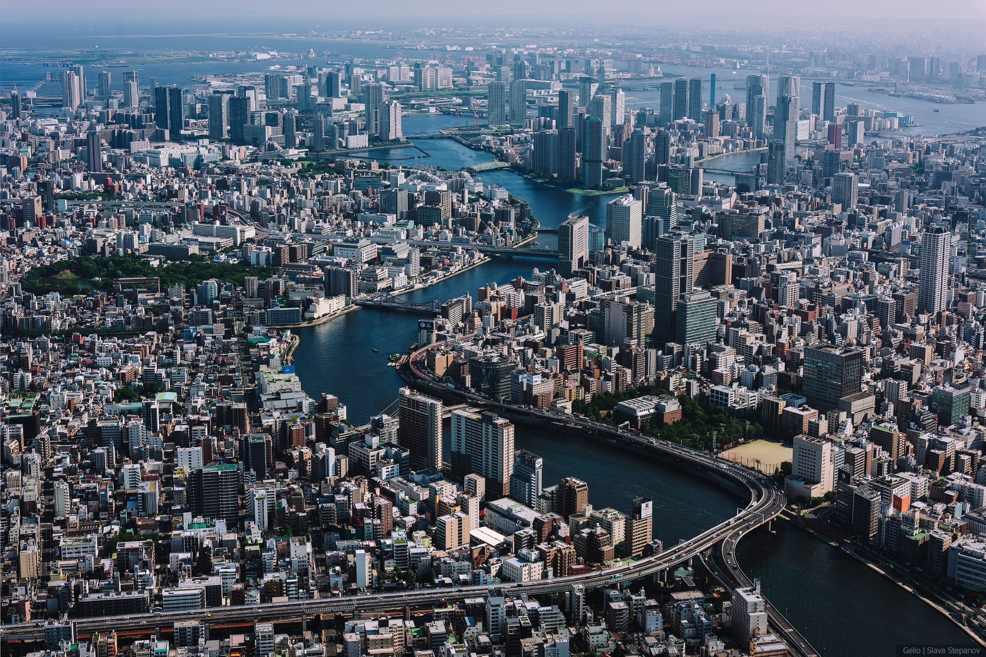
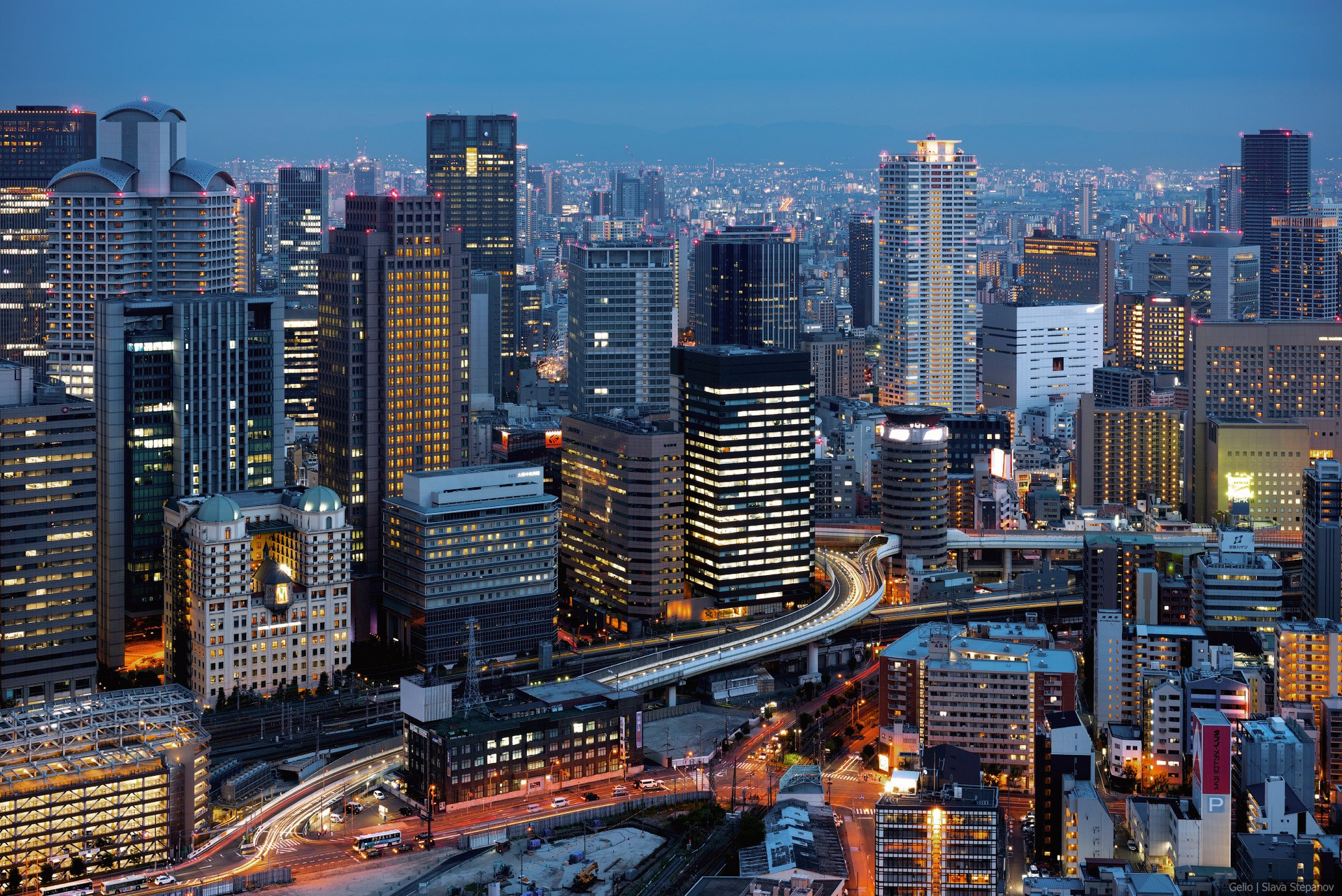
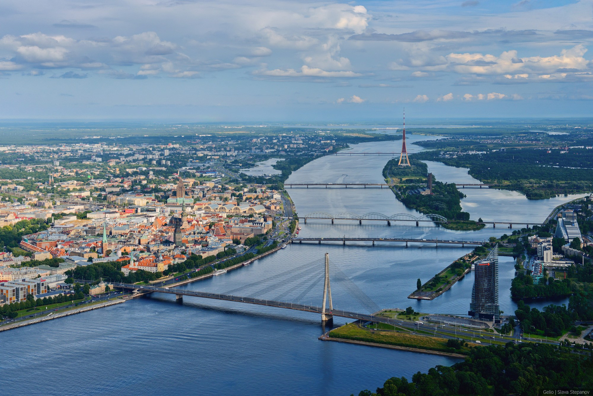
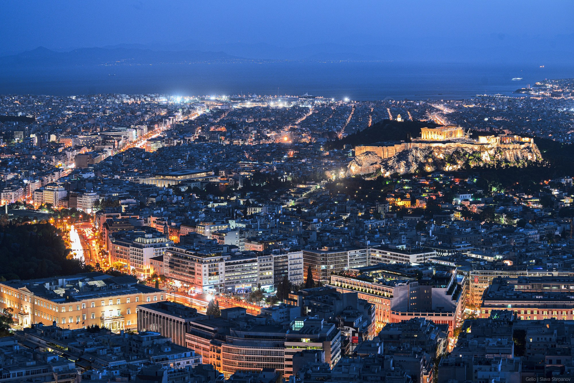
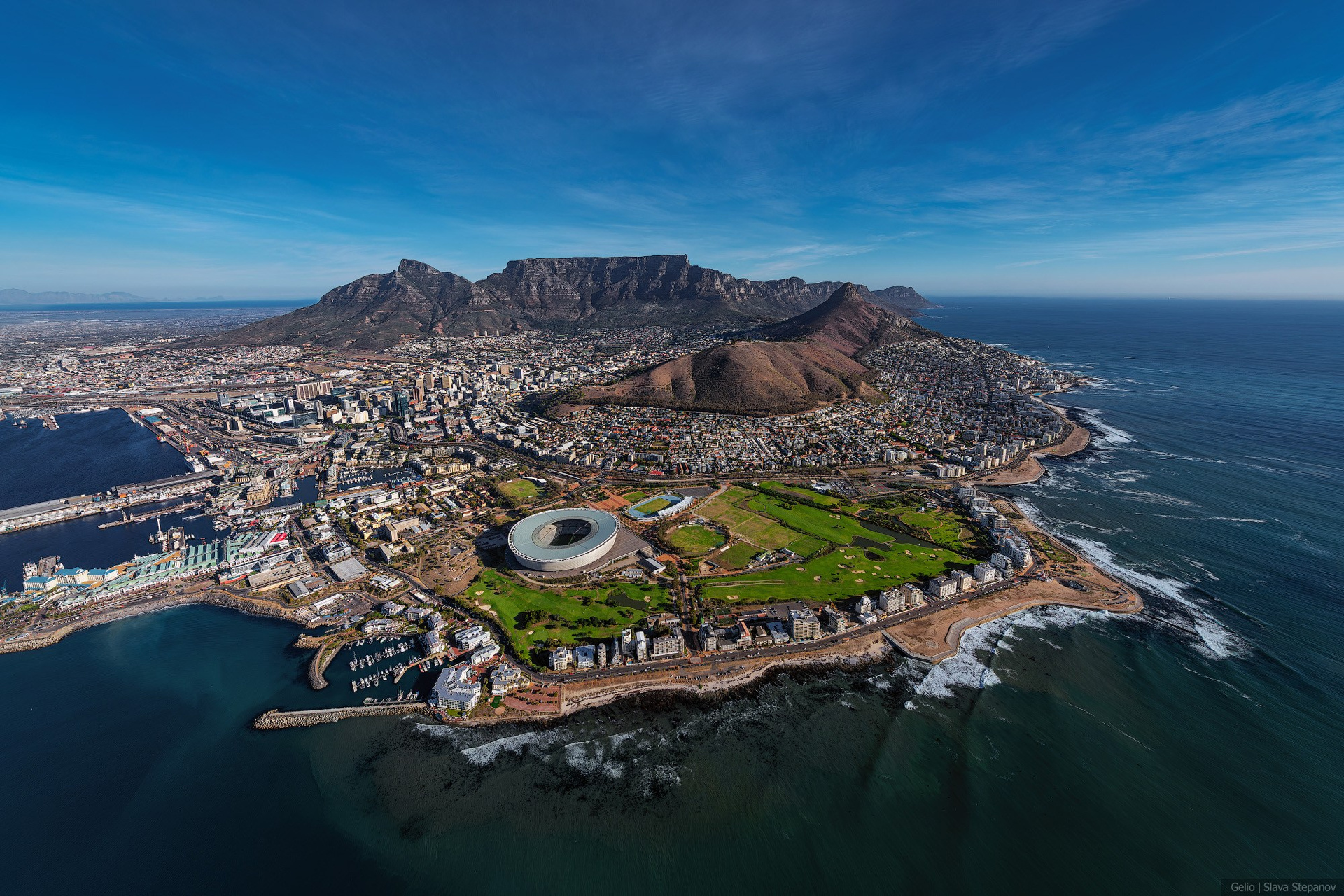
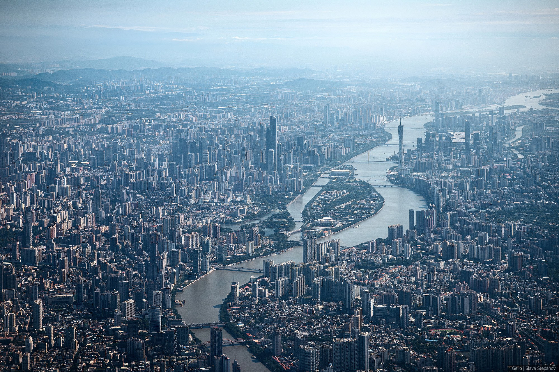
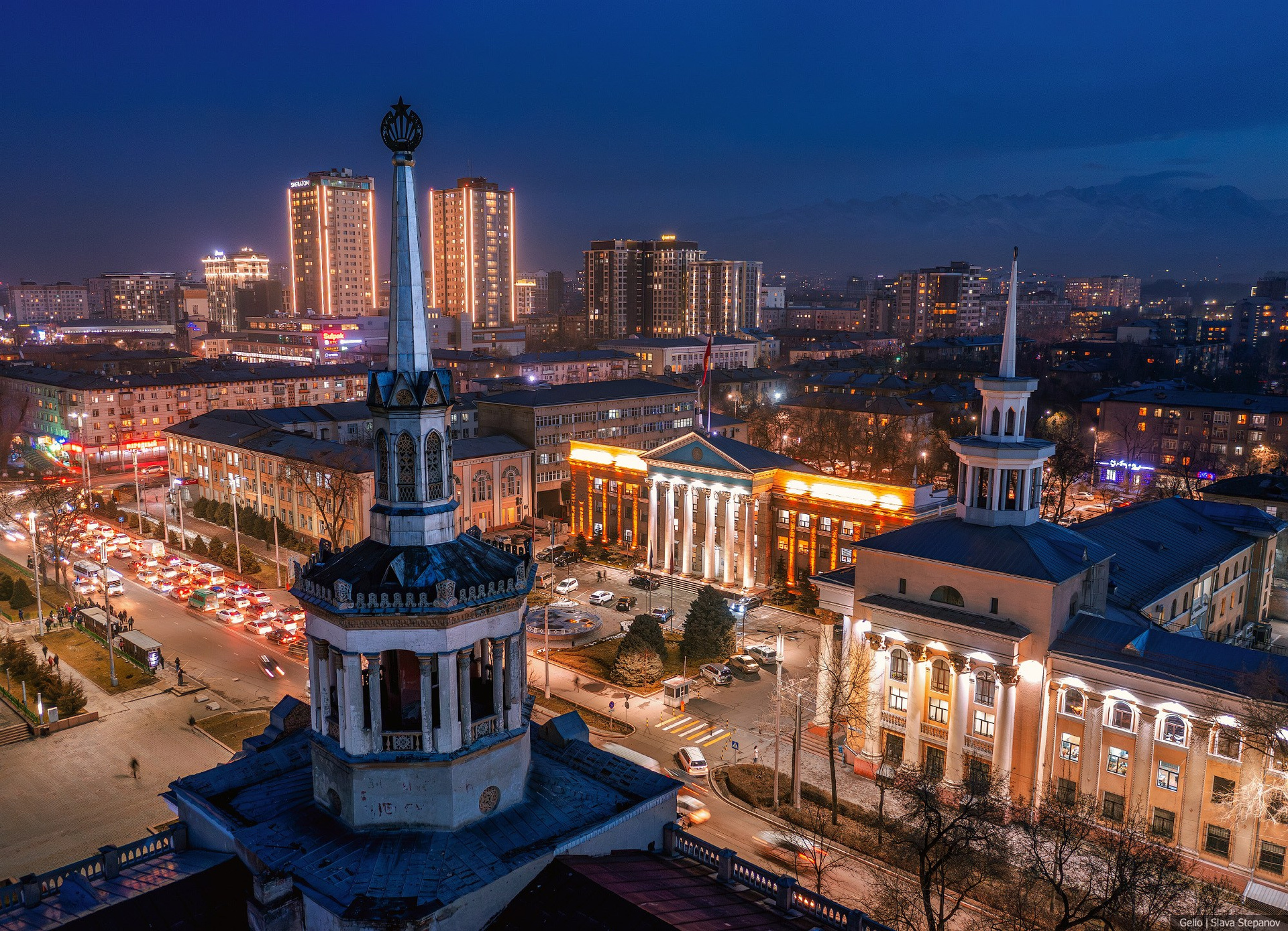
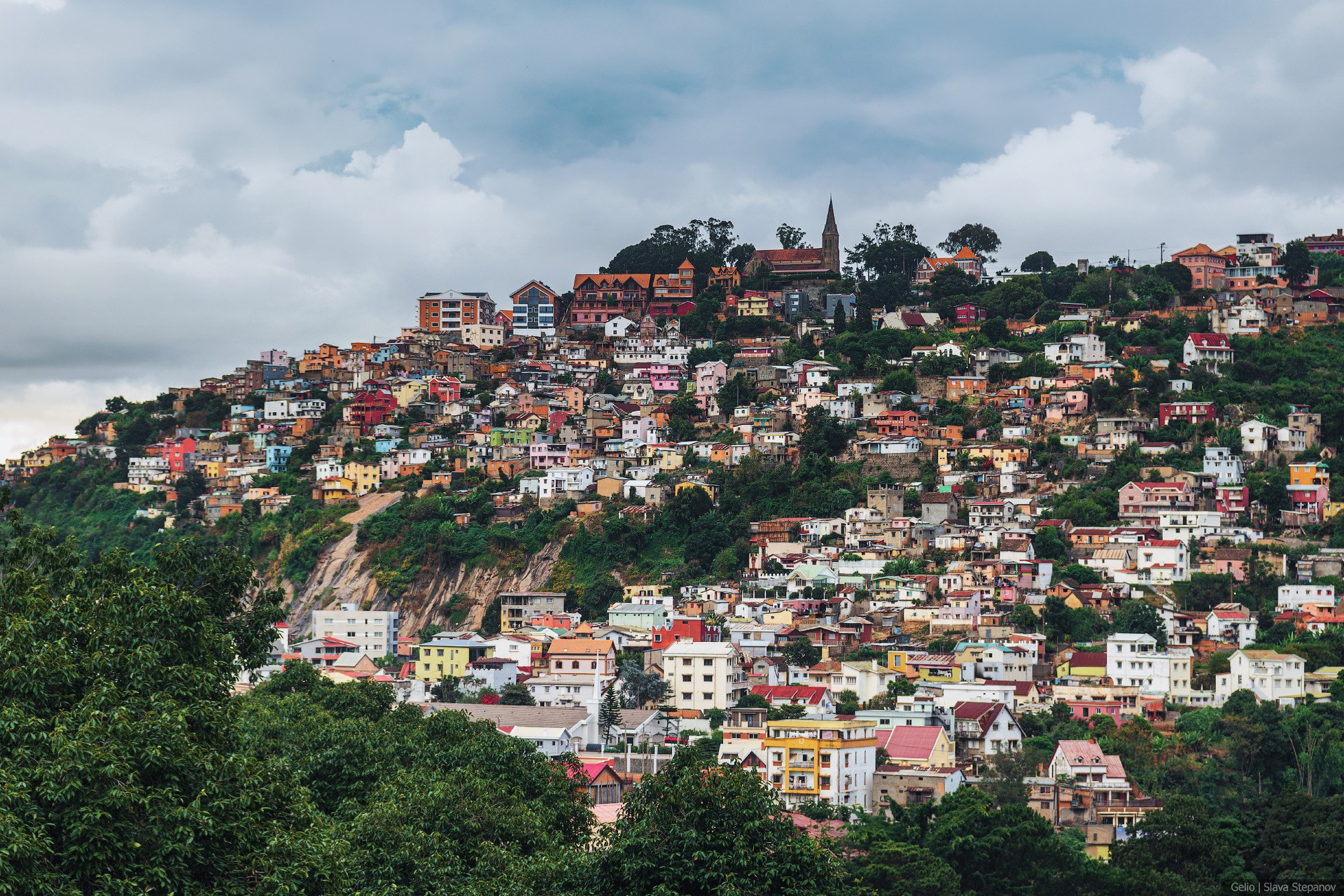
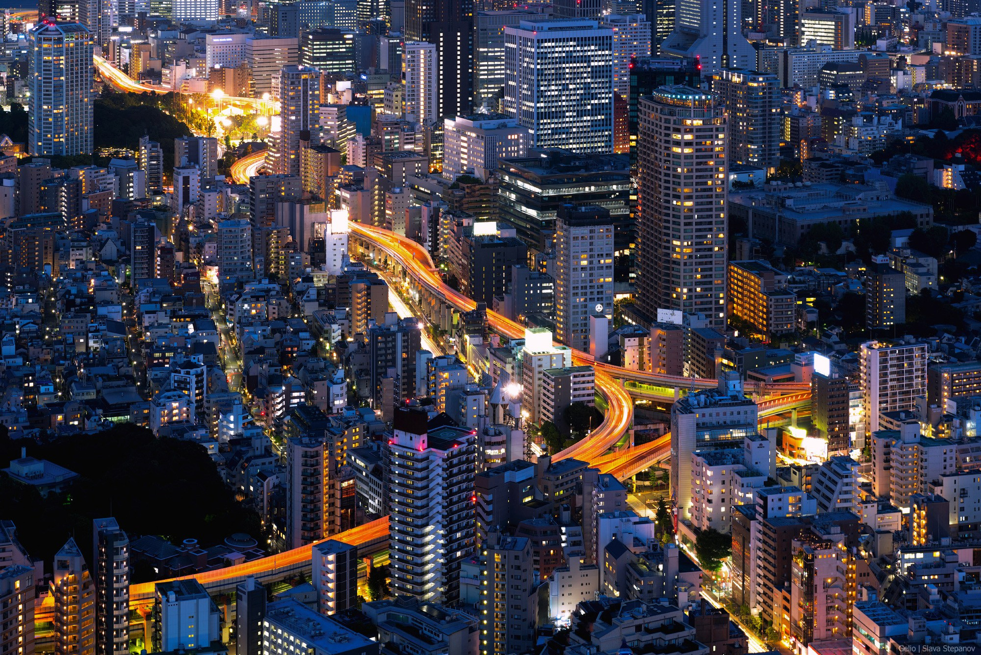
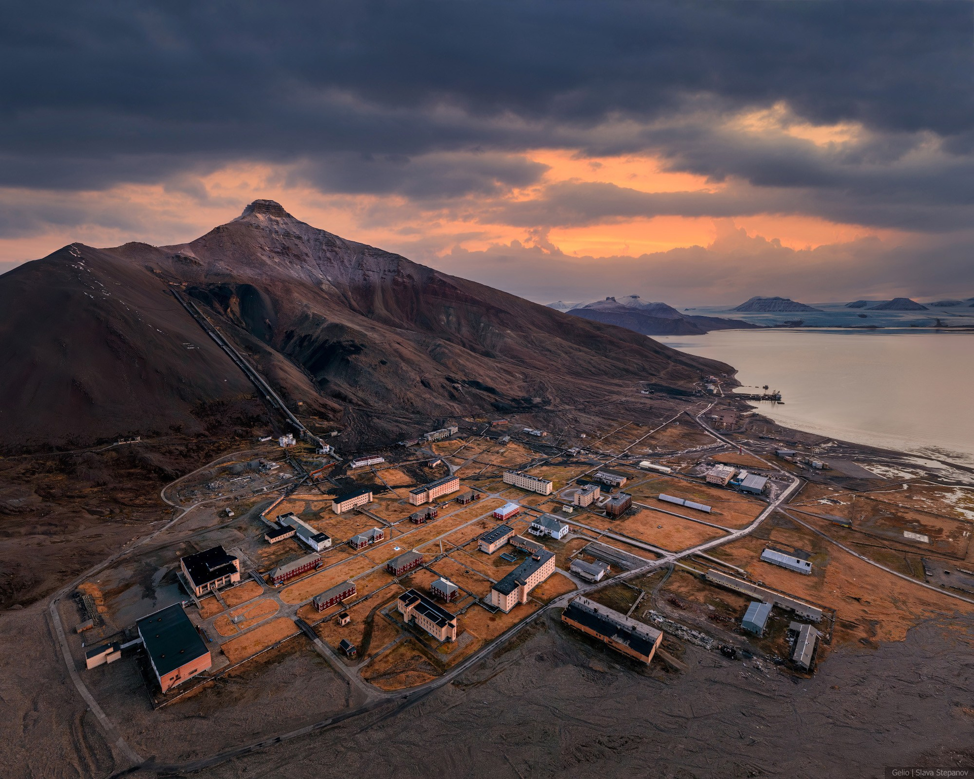
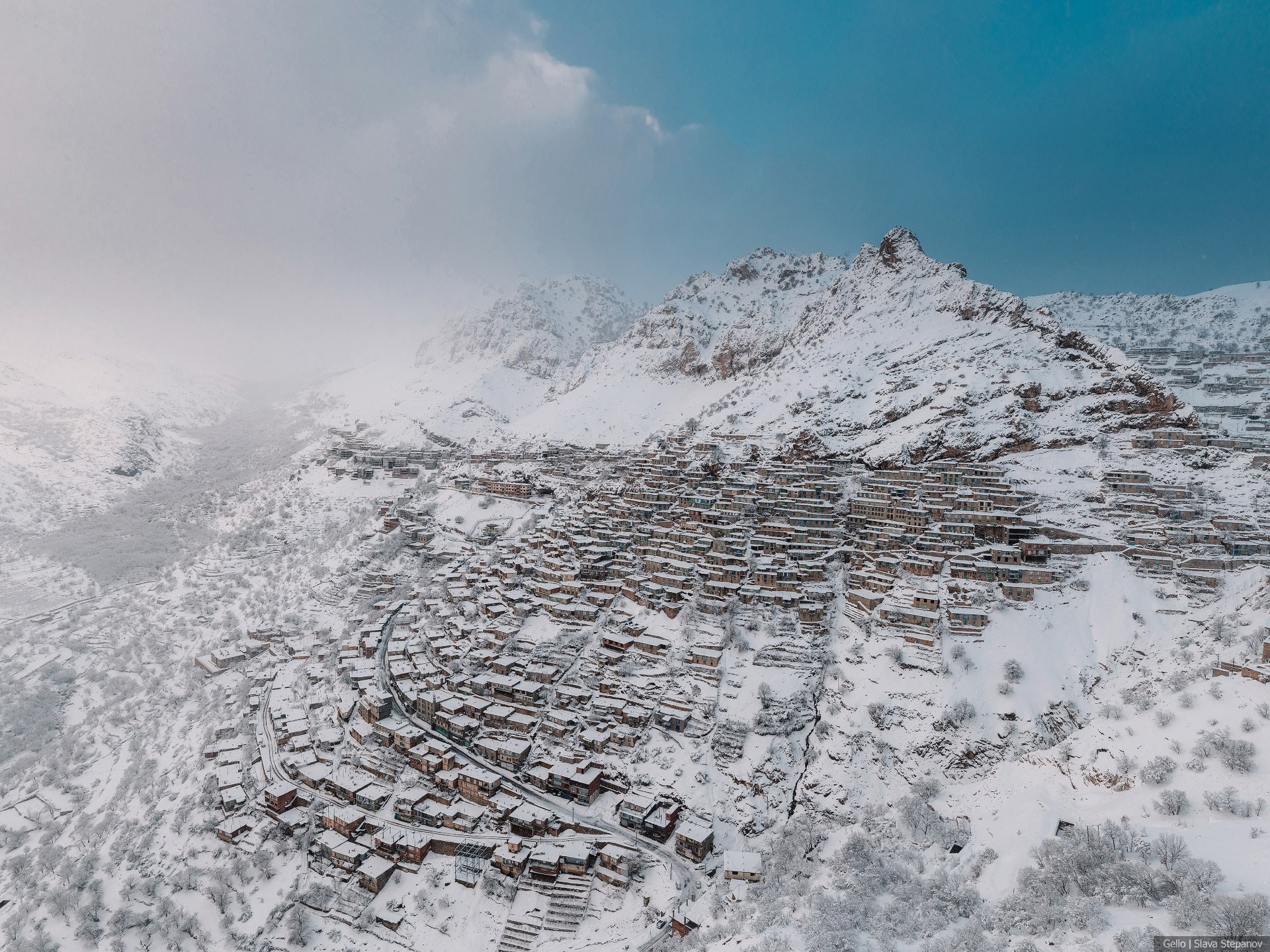
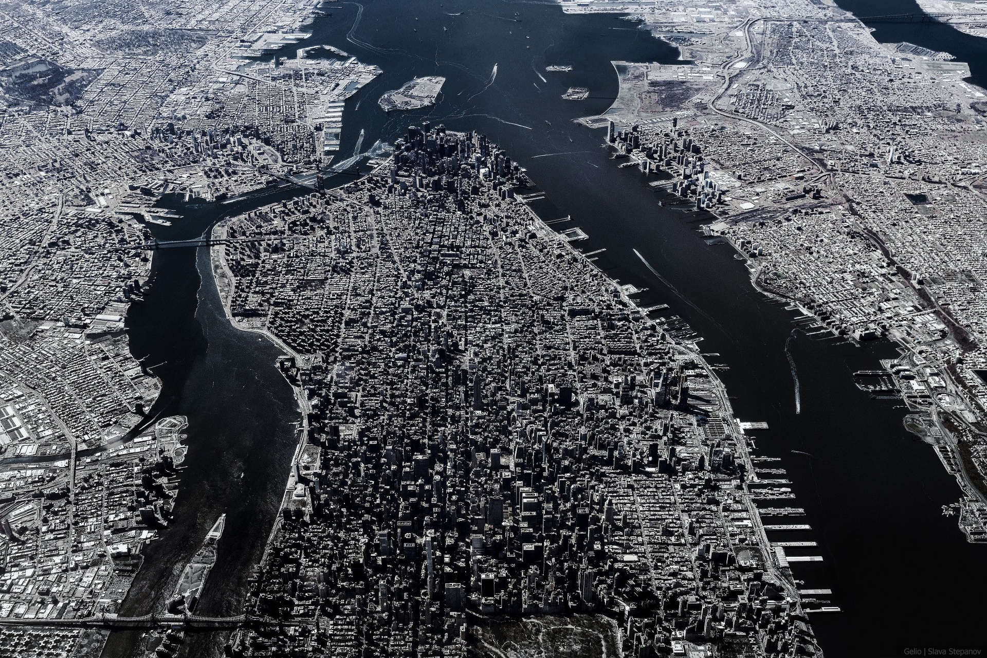
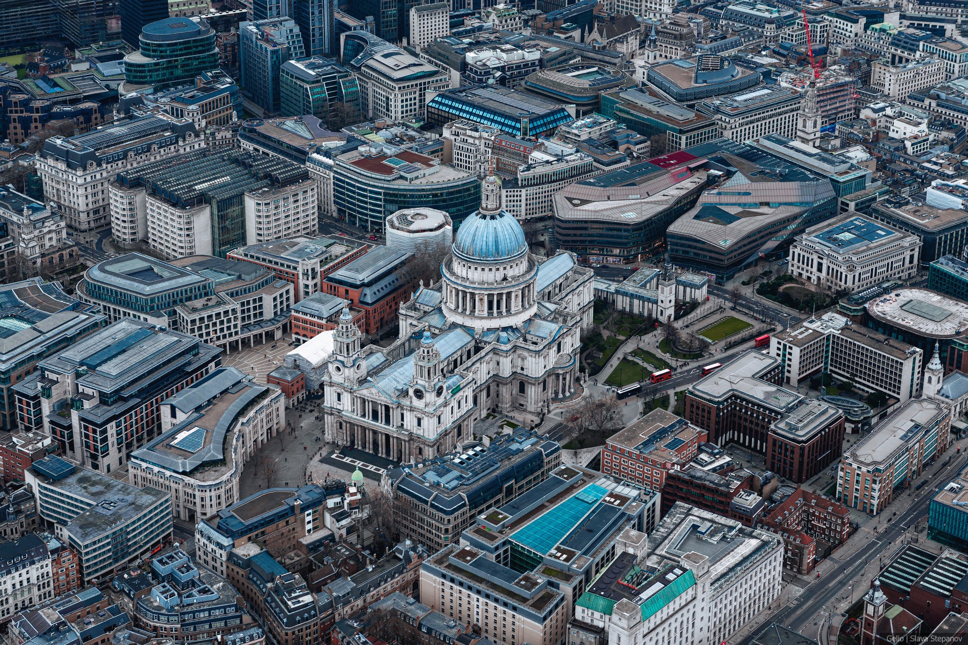
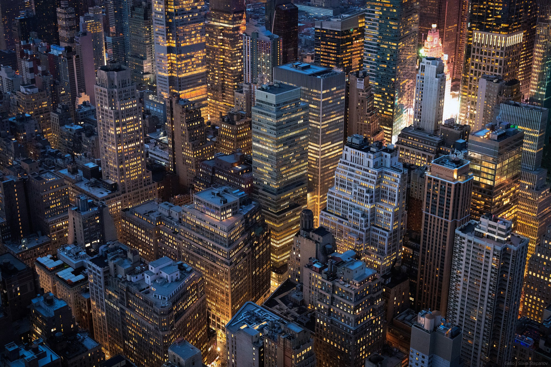
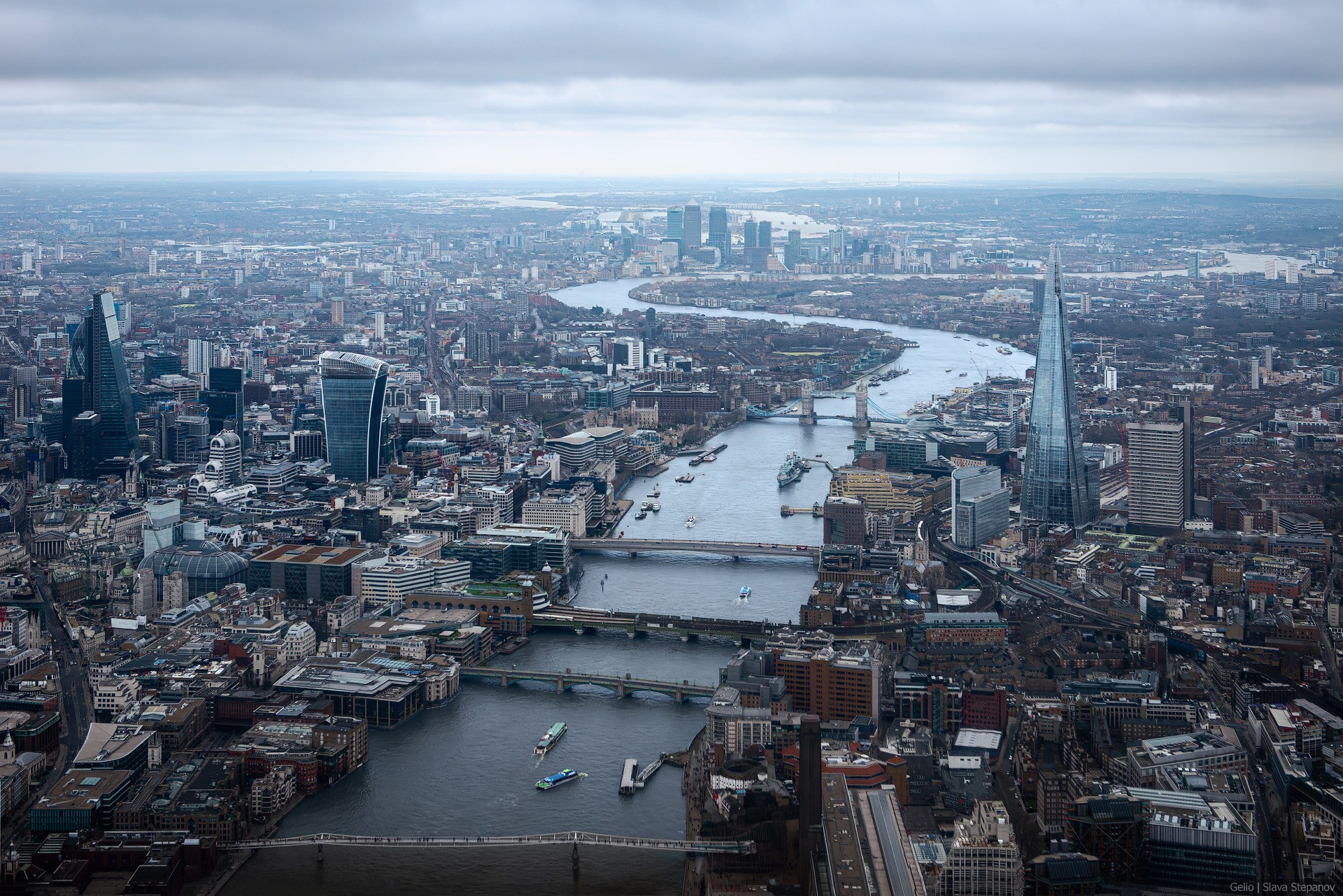
This section features a collection of photographs and high-altitude panoramas showcasing the architecture and layout of various world cities. Aerial photography provides a detailed look at the scale of development in world capitals and major megalopolises. The archive contains shots of historical centers, squares, streets, and architectural monuments, as well as modern business districts with high-rise buildings and skyscrapers. High-resolution images capture key elements of urban infrastructure: bridges, multi-level transport interchanges, port zones, industrial areas, and embankments. The gallery includes both daytime views showing the density of the urban environment and traffic, and evening shots featuring nighttime architectural lighting of buildings and the road network.